Line © OpenStreetMap contributors (ODbL), checked by Global Adventurer.
The walk
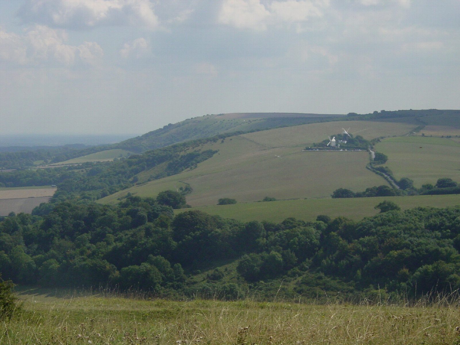
The walk starts from the Jack and Jill car park by the windmills on the ridge above Clayton and goes out and back to Wolstonbury Hill (206 m), an outlier of the downs standing north of the main ridge and ringed by a Bronze Age enclosure. The line heads west along the downs and crosses two dips before the final climb to the top. The hill is chalk grassland rich in orchids, and National Trust land. It is on path and track throughout.
It is 7.5 km with 281 m of ascent; allow about 2½ hours. The grade is Easy, though the route rises and falls more than you might expect, with a steep final climb onto the hill, and all of it again on the way back.
The hill is open and catches the wind. Expect gates and grazing stock, and keep dogs close near animals.
The Jack and Jill car park is free. Hassocks station is about 2 km away in a straight line. There are no mapped water sources on the route.
Route drawn by Global Adventurer along OpenStreetMap paths (© OpenStreetMap contributors, ODbL), with figures worked out from it. Check the forecast and the ground on the day: paths change.
Good to know
- An outlier of the downs standing north of the main ridge, ringed by a Bronze Age enclosure
- Chalk grassland rich in orchids; National Trust land
- Starts by the Jack and Jill windmills on the ridge above Clayton
Summits on the way
- Wolstonbury Hill 206 m
Getting there
Start: Jack and Jill car park, Clayton · Free parking. 50.90543, -0.14826
By train: Hassocks station is 2.2 km from the start.
Places to stay nearby
Rooms in and around Jack and Jill car park: Booking.com → Expedia →
Affiliate links: if you book, Global Adventurer earns a small commission at no cost to you.
Paths change, and the weather decides the day. The line and figures come from OpenStreetMap and our own checks; take a map, check the forecast, and turn back if it isn't right.

