Line © OpenStreetMap contributors (ODbL), checked by Global Adventurer.
The walk
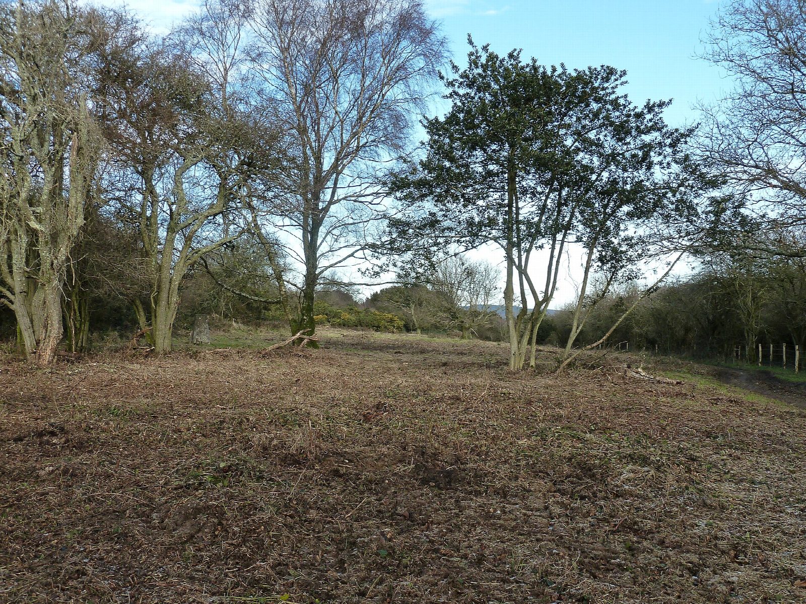
The walk makes a circuit from the West Stoke car park. It heads north up Kingley Vale, one of the finest yew forests in Europe, where some trees are thought to be 2,000 years old, then climbs steeply out of the valley onto Bow Hill (206 m), crowned by the Devil's Humps, four Bronze Age barrows. The return comes down a track to the south-east and bears back west to rejoin the outward path for the last 1.3 km to West Stoke. It is on path and track throughout.
It is 6.3 km with 160 m of ascent; allow about 2 hours. The grade is Easy: most of it is gentle, with one short, steep climb from the valley floor onto Bow Hill.
Kingley Vale has been a National Nature Reserve since 1952, so keep to the paths. The top of Bow Hill is open to the wind, with views over Chichester harbour to the Isle of Wight.
The West Stoke car park is free. Bosham station is about 3½ km away in a straight line. There are no mapped water sources on the route.
Route drawn by Global Adventurer along OpenStreetMap paths (© OpenStreetMap contributors, ODbL), with figures worked out from it. Check the forecast and the ground on the day: paths change.
Good to know
- One of the finest yew forests in Europe; some trees are thought to be 2,000 years old
- The Devil's Humps, four Bronze Age barrows, crown Bow Hill
- A National Nature Reserve since 1952
- Views over Chichester harbour to the Isle of Wight
Summits on the way
- Bow Hill 206 m
Getting there
Start: West Stoke car park · Free parking. 50.87259, -0.82938
Places to stay nearby
Rooms in and around Bosham: Booking.com → Expedia →
Affiliate links: if you book, Global Adventurer earns a small commission at no cost to you.
Paths change, and the weather decides the day. The line and figures come from OpenStreetMap and our own checks; take a map, check the forecast, and turn back if it isn't right.


