Line © OpenStreetMap contributors (ODbL), checked by Global Adventurer.
The walk
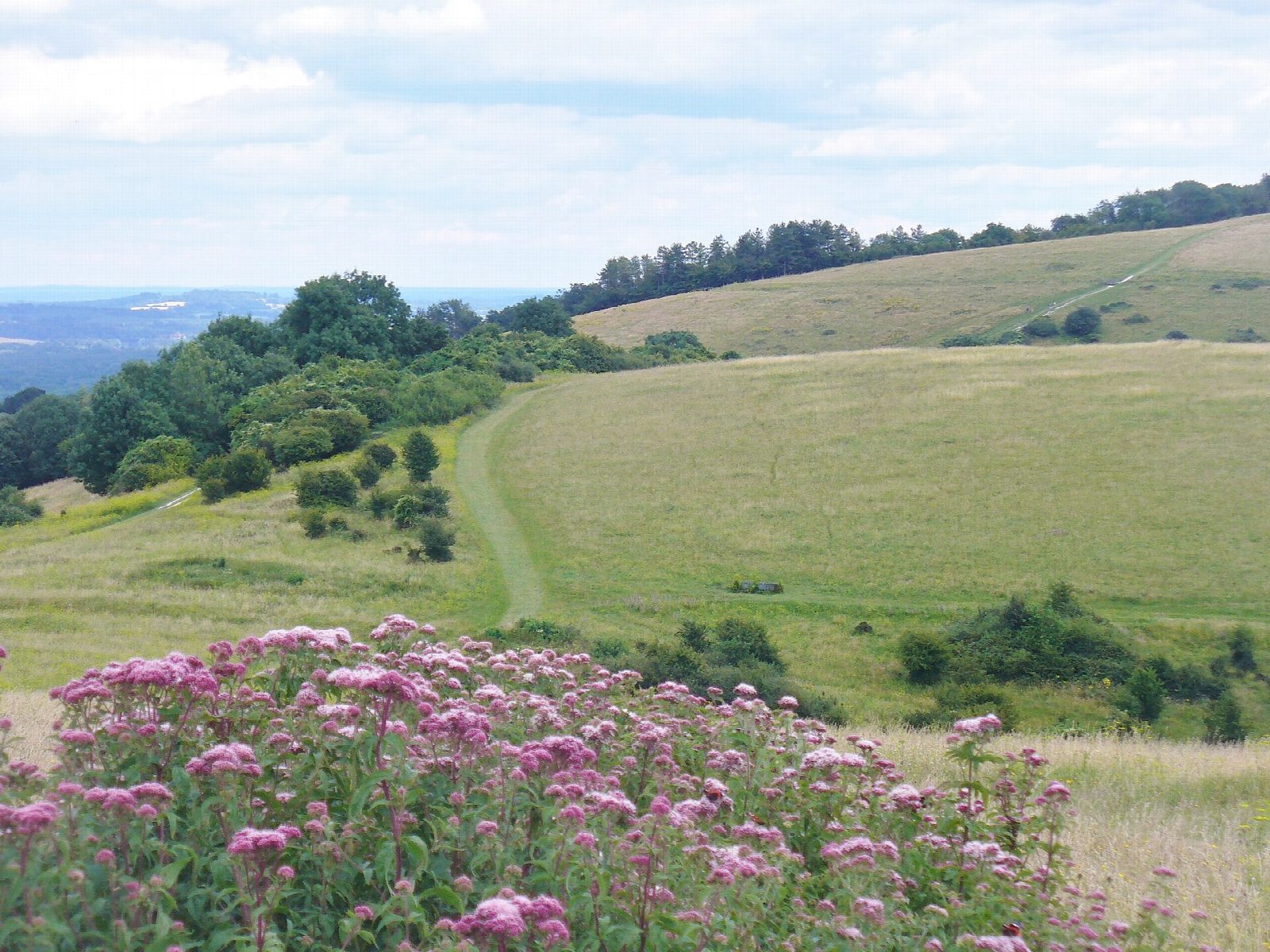
The walk makes a circuit on the South Downs Way from the Harting Down car park, above South Harting. It crosses the chalk downland of Harting Down (229 m), drops into a dip and climbs steeply to Beacon Hill (242 m), with its Iron Age fort and the site of a Napoleonic-era telegraph station, then goes on to Pen Hill (215 m) before coming back round Beacon Hill and over Harting Down. Steep dry valleys cut into the hills, and this is National Trust land, with orchids and skylarks.
It is 4.8 km with 245 m of ascent; allow about 2 hours. The grade is Easy, but for a short walk it has a lot of up and down: the climbs onto Beacon Hill and Pen Hill are short and sharp.
The downs are open and exposed to the wind. Expect gates and grazing stock, and keep dogs close near animals.
The Harting Down car park charges a fee. Petersfield station is about 7 km away in a straight line. There are no mapped water sources on the route.
Route drawn by Global Adventurer along OpenStreetMap paths (© OpenStreetMap contributors, ODbL), with figures worked out from it. Check the forecast and the ground on the day: paths change.
Good to know
- Chalk downland on the South Downs Way above South Harting: over Harting Down and Beacon Hill to Pen Hill and back
- Beacon Hill has an Iron Age fort and the site of a Napoleonic-era telegraph station
- Steep dry valleys, orchids and skylarks; National Trust land
- The Vandalian Tower folly stands in the woods on Tower Hill
Summits on the way
- Harting Down 229 m
- Beacon Hill 242 m
- Pen Hill 215 m
Getting there
Start: Harting Down car park · Pay and display. 50.95662, -0.87604
Places to stay nearby
Rooms in and around Petersfield: Booking.com → Expedia →
Affiliate links: if you book, Global Adventurer earns a small commission at no cost to you.
Paths change, and the weather decides the day. The line and figures come from OpenStreetMap and our own checks; take a map, check the forecast, and turn back if it isn't right.

