Line © OpenStreetMap contributors (ODbL), checked by Global Adventurer.
The walk
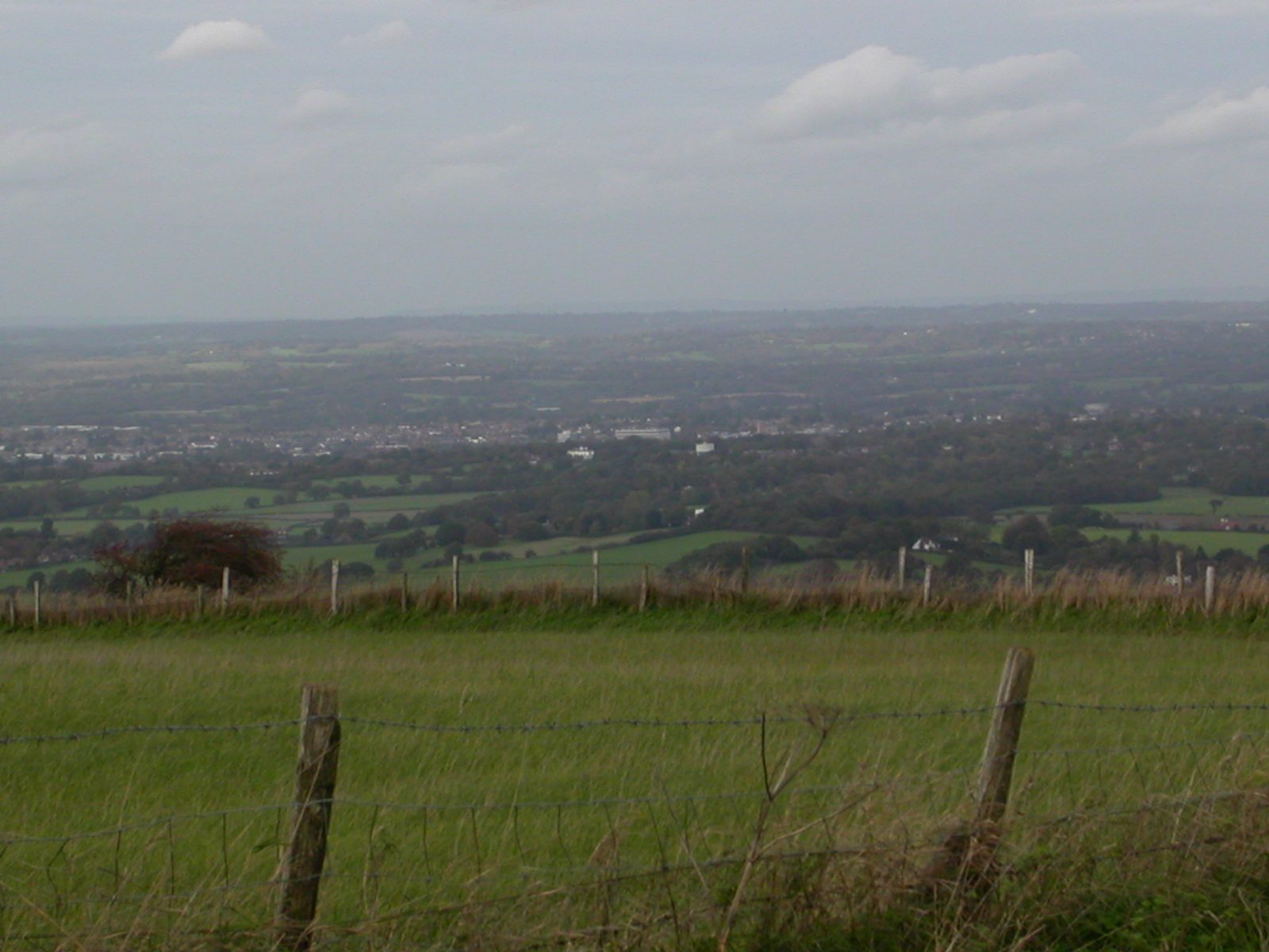
From the car park behind the village hall the walk leaves Ditchling to the south on the Sussex Border Path, across the fields to Underhill Lane. It climbs the scarp by Burnhouse Bostall, a chalk path, to Keymer Post on the South Downs Way, and turns west along the ridge to the Jack and Jill windmills above Clayton. It comes back the same way to Keymer Post and carries on east past the dew ponds to the trig point on Ditchling Beacon, at 248 m the highest point in East Sussex. Beyond the Beacon car park it drops down the Westmeston bostal to Westmeston and returns across the fields to Ditchling.
It is 11.4 km with 268 m of ascent; allow about 3½ hours. The grade is Moderate: one stiff climb up the scarp, then easy walking on the ridge.
The chalk on Burnhouse Bostall is slippery in any weather, and sheep graze the hillside: keep dogs on leads. The field paths below the downs have stiles and are muddy in winter. Take care crossing the road at the Beacon car park, which is on a blind bend.
The village hall car park is free. The nearest station is Hassocks, about 2.2 km away. Jill is a post mill of 1821, moved here from Brighton in 1852; Jack is a tower mill of 1866.
Route drawn by Global Adventurer along OpenStreetMap paths (© OpenStreetMap contributors, ODbL), with figures worked out from it. Check the forecast and the ground on the day: paths change.
Good to know
- Up Burnhouse Bostall to Keymer Post, west along the South Downs Way to the Jack and Jill windmills and back
- Then east past the dew ponds to Ditchling Beacon, 248 m, the highest point in East Sussex
- Down the Westmeston bostal and home across the fields
- Jill is a post mill of 1821, moved here from Brighton in 1852; Jack is a tower mill of 1866
Summits on the way
- Ditchling Beacon 248 m
Getting there
Start: Ditchling village hall car park · Free parking. 50.92095, -0.11419
By train: Hassocks station is 2.2 km from the start.
Places to stay nearby
Rooms in and around Hassocks: Booking.com → Expedia →
Affiliate links: if you book, Global Adventurer earns a small commission at no cost to you.
Paths change, and the weather decides the day. The line and figures come from OpenStreetMap and our own checks; take a map, check the forecast, and turn back if it isn't right.


