Line © OpenStreetMap contributors (ODbL), checked by Global Adventurer.
The walk
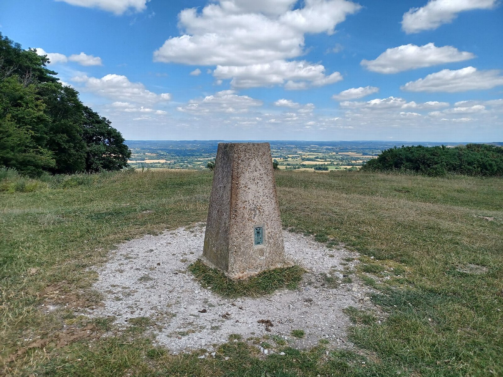
The walk starts from the car park at Ditchling Beacon and goes out and back along the South Downs Way. First it takes in the top of Ditchling Beacon (248 m), about 200 m west of the car park: the highest point in East Sussex and the third highest on the South Downs, ringed by an Iron Age hill fort, where a beacon warned of the Armada. Then it follows the ridge east to the beech clump on Blackcap (206 m), with views north over the Weald and south to Brighton and the sea, and comes back the same way to the car park.
It is 8.8 km with 99 m of ascent; allow about 2½ hours. The grade is Easy: it starts high and stays on the ridge, with only gentle rises and falls on a clear path.
The ridge is open to the wind with little shelter, so take a warm layer. Expect gates and grazing stock along the way, and keep dogs close near animals.
The Ditchling Beacon car park charges a fee. Hassocks station is about 4 km away in a straight line. There are no mapped water sources on the route.
Route drawn by Global Adventurer along OpenStreetMap paths (© OpenStreetMap contributors, ODbL), with figures worked out from it. Check the forecast and the ground on the day: paths change.
Good to know
- Ditchling Beacon is the highest point in East Sussex and the third highest on the South Downs
- East along the South Downs Way ridge to the beech clump on Blackcap
- An Iron Age hill fort rings the Beacon; a beacon here warned of the Armada
- Views north over the Weald and south to Brighton and the sea
Summits on the way
- Ditchling Beacon 248 m
- Blackcap 206 m
Getting there
Start: Ditchling Beacon car park · Pay and display. 50.90086, -0.10512
Places to stay nearby
Rooms in and around Hassocks: Booking.com → Expedia →
Affiliate links: if you book, Global Adventurer earns a small commission at no cost to you.
Paths change, and the weather decides the day. The line and figures come from OpenStreetMap and our own checks; take a map, check the forecast, and turn back if it isn't right.

