Line © OpenStreetMap contributors (ODbL), checked by Global Adventurer.
The walk
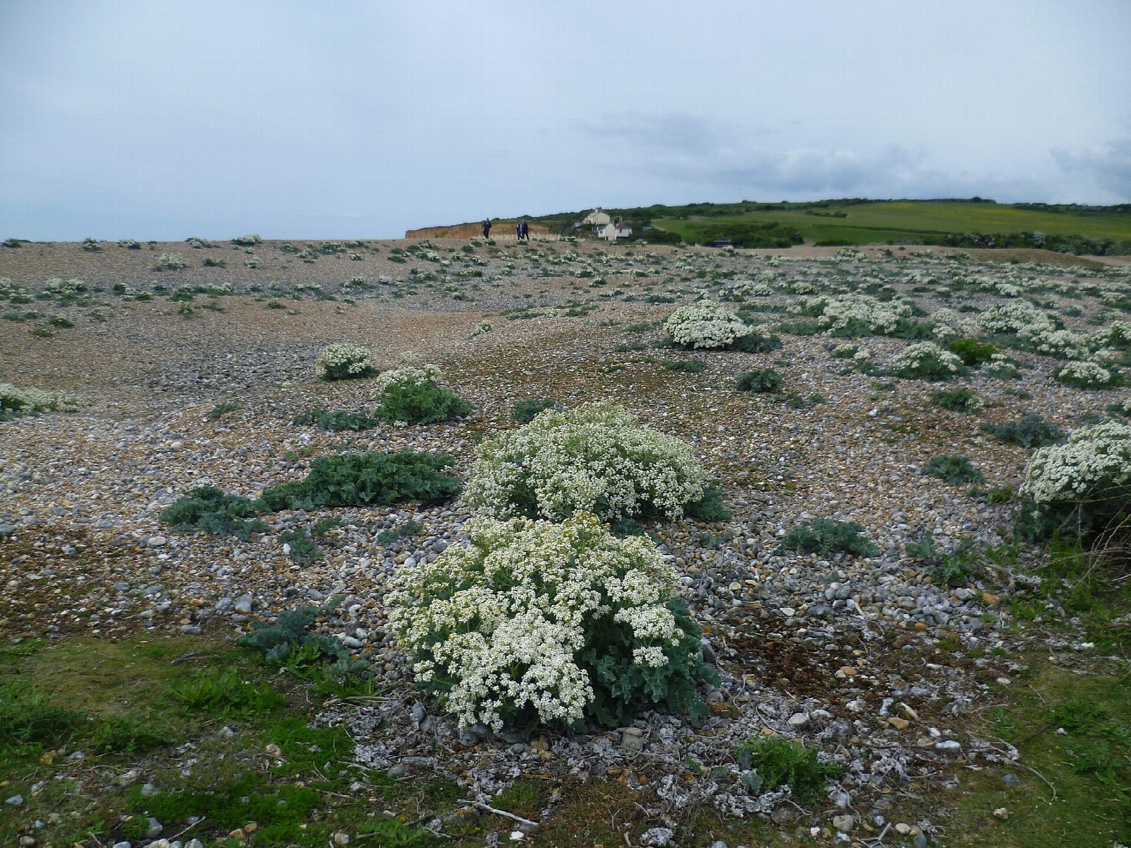
From the Seven Sisters Country Park car park at Exceat the walk goes through the gate by the cattle grid and down the valley on the park's main track. It is a concrete road at first, with the old meanders of the Cuckmere on the right; a straight channel was dug for the river in the 1800s and the loops were left behind. After about 2 km it reaches the shingle beach at Cuckmere Haven, at the foot of the first of the Seven Sisters. The return is the same way.
It is 4.2 km and flat, with 0 m of ascent; allow about 1 hour. The grade is Easy: the track is firm and level, and only the shingle at the end is awkward.
Do not try to cross the river at its mouth: the water is deep at high tide and the current strong. Keep at least 5 m back from the cliff edge and from the foot of the cliffs. Stock graze the park all year, parts are roped off for nesting birds from March to September, and dogs should be kept out of the meanders and lagoons.
The car park charges: £3.50 for up to two hours when checked. The nearest station is Seaford, about 4 km away. Buses 12, 12A and 12X between Brighton and Eastbourne stop at the visitor centre.
Route drawn by Global Adventurer along OpenStreetMap paths (© OpenStreetMap contributors, ODbL), with figures worked out from it. Check the forecast and the ground on the day: paths change.
Good to know
- Down the Cuckmere valley from Exceat to the shingle beach at Cuckmere Haven, beside the old meanders of the river
- The meanders were cut off when a straight channel was dug in the 1800s
- The beach looks along the Seven Sisters; pillboxes and tank traps from 1940 line the valley
- Do not try to cross the river at its mouth: the current is strong
Getting there
Start: Seven Sisters Country Park, Exceat · Pay and display. 50.77462, 0.15224
Places to stay nearby
Rooms in and around Seven Sisters Country Park: Booking.com → Expedia →
Affiliate links: if you book, Global Adventurer earns a small commission at no cost to you.
Paths change, and the weather decides the day. The line and figures come from OpenStreetMap and our own checks; take a map, check the forecast, and turn back if it isn't right.

