Line © OpenStreetMap contributors (ODbL), checked by Global Adventurer.
The walk
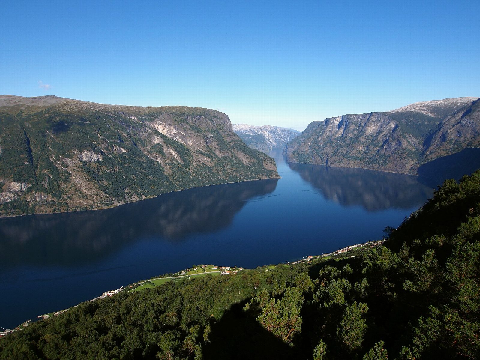
From the car park by Aurland stadium, walk up the road towards Vinjane and turn onto the marked path at a small gate. It climbs steeply through birch wood by a stony gully, passes a day-trip shelter (dagsturhytte) after about 1.5 km and crosses a tractor road halfway up. Above that it follows an old pack-horse path, built up with stone in places, to the Stegastein viewpoint on the road high above the fjord. Return the same way.
It is 6.6 km there and back with 632 m of ascent; allow about 4 hours. The grade is Moderate: steep from the start, on a path that is rough in places.
Nærøyfjorden Verdsarvpark (the Nærøyfjord World Heritage Park), which publishes the route, gives the season as March to October and warns that the gully at the start is slippery when wet. Where the path crosses the tractor road it is easy to miss the way on; red marks and arrows show it. Animals graze in summer, so keep dogs on a lead, and there are gates on the way.
There is free parking by Aurland stadium and in Aurlandsvangen, which buses serve, and boats in summer.
Route drawn by Global Adventurer along OpenStreetMap paths (© OpenStreetMap contributors, ODbL), with figures worked out from it. Check the forecast and the ground on the day: paths change.
Good to know
- Up an old pack-horse path from Aurlandsvangen to the Stegastein viewpoint high above the Aurlandsfjord
- A steep, stony gully at the start, slippery when wet
- Animals graze in summer: dogs on a lead, and close the gates
- Free parking by Aurland stadium or in Aurlandsvangen
Getting there
Start: Aurlandsvangen · Free parking. 60.90506, 7.19519
Places to stay nearby
Rooms in and around Sognefjord: Booking.com → Expedia →
Affiliate links: if you book, Global Adventurer earns a small commission at no cost to you.
Paths change, and the weather decides the day. The line and figures come from OpenStreetMap and our own checks; take a map, check the forecast, and turn back if it isn't right.