Line © OpenStreetMap contributors (ODbL), checked by Global Adventurer.
The walk
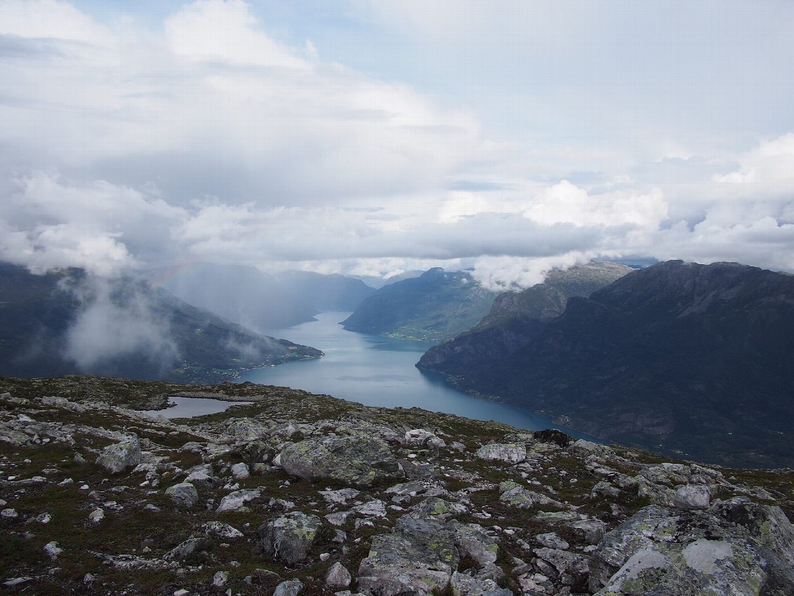
From the car park at Krossen, on a gravel road off the road between Hafslo and Marifjøra, follow forest roads and then a path marked with red dots up through the trees. The path passes the viewpoint at Svarthiller and climbs past steep crags onto the open top of Molden, 1,116 m, high above the Lustrafjord, an arm of the Sognefjord. Return the same way.
It is 7.9 km there and back with 600 m of ascent; allow about 4 hours. The grade is Moderate: a steady climb, first on forest roads and then on a good path, steeper below the top.
Luster Turlag and Luster kommune, who publish the route, call Molden the finest viewpoint in the whole of Luster and give the season as June to October. The path lies in the area ut.no calls Breheimen, north of the fjord. The route page describes the path as passing steep crags below the summit.
Parking at Krossen is free, and there is a toilet at the car park.
Route drawn by Global Adventurer along OpenStreetMap paths (© OpenStreetMap contributors, ODbL), with figures worked out from it. Check the forecast and the ground on the day: paths change.
Good to know
- Molden, 1,116 m, above the Lustrafjord, the innermost arm of the Sognefjord
- Marked with red dots from the car park, past the viewpoint at Svarthiller
- The path climbs past steep crags below the top
- Car park with toilets at Krossen, on a gravel road off the road between Hafslo and Marifjøra
Summits on the way
- Molden 1,116 m
Getting there
Start: Krossen · Free parking. 61.33308, 7.27180
Places to stay nearby
Rooms in and around Sognefjord: Booking.com → Expedia →
Affiliate links: if you book, Global Adventurer earns a small commission at no cost to you.
Paths change, and the weather decides the day. The line and figures come from OpenStreetMap and our own checks; take a map, check the forecast, and turn back if it isn't right.