Line © OpenStreetMap contributors (ODbL), checked by Global Adventurer.
The walk
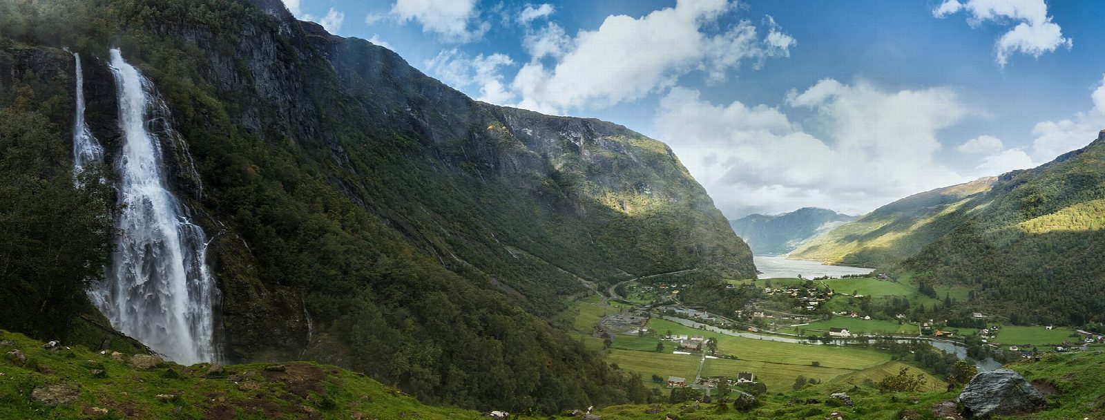
From Flåm station follow the road up the valley for about 2 km to the small car park at Brekkevegen, between the road and the river. The path starts on gravel and then climbs 578 stone steps through mixed woodland and birch to Raokjen, beside the falls, with a view back over the valley and the fjord. Return the same way.
It is 5 km there and back with 174 m of ascent; allow about 1½ hours. The grade is Easy: an easy road walk and then a short, steep stairway.
Nærøyfjorden Verdsarvpark (the Nærøyfjord World Heritage Park), which publishes the path, says it is steep and rough in places, and that when the river is high the spray from the fall can soak you. It gives the path as open all year.
Drivers can park at Brekkevegen, on the left about 1.2 km from the turning off the E16 towards Flåm; from there the walk is only 1.3 km there and back. Flåm station is on the Flåm railway, so the walk needs no car, and the village has larger car parks.
Route drawn by Global Adventurer along OpenStreetMap paths (© OpenStreetMap contributors, ODbL), with figures worked out from it. Check the forecast and the ground on the day: paths change.
Good to know
- Up the valley road from Flåm and then 578 stone steps to Raokjen, beside the waterfall
- The path is steep and rough in places
- When the river is high the spray from the fall soaks you
- A walk from the station: about 2 km of road each way
Getting there
Start: Flåm station · Free parking. 60.86328, 7.11376
By train: Flåm station is 0.0 km from the start.
Places to stay nearby
Rooms in and around Flåm: Booking.com → Expedia →
Affiliate links: if you book, Global Adventurer earns a small commission at no cost to you.
Paths change, and the weather decides the day. The line and figures come from OpenStreetMap and our own checks; take a map, check the forecast, and turn back if it isn't right.