Line © OpenStreetMap contributors (ODbL), checked by Global Adventurer.
The walk
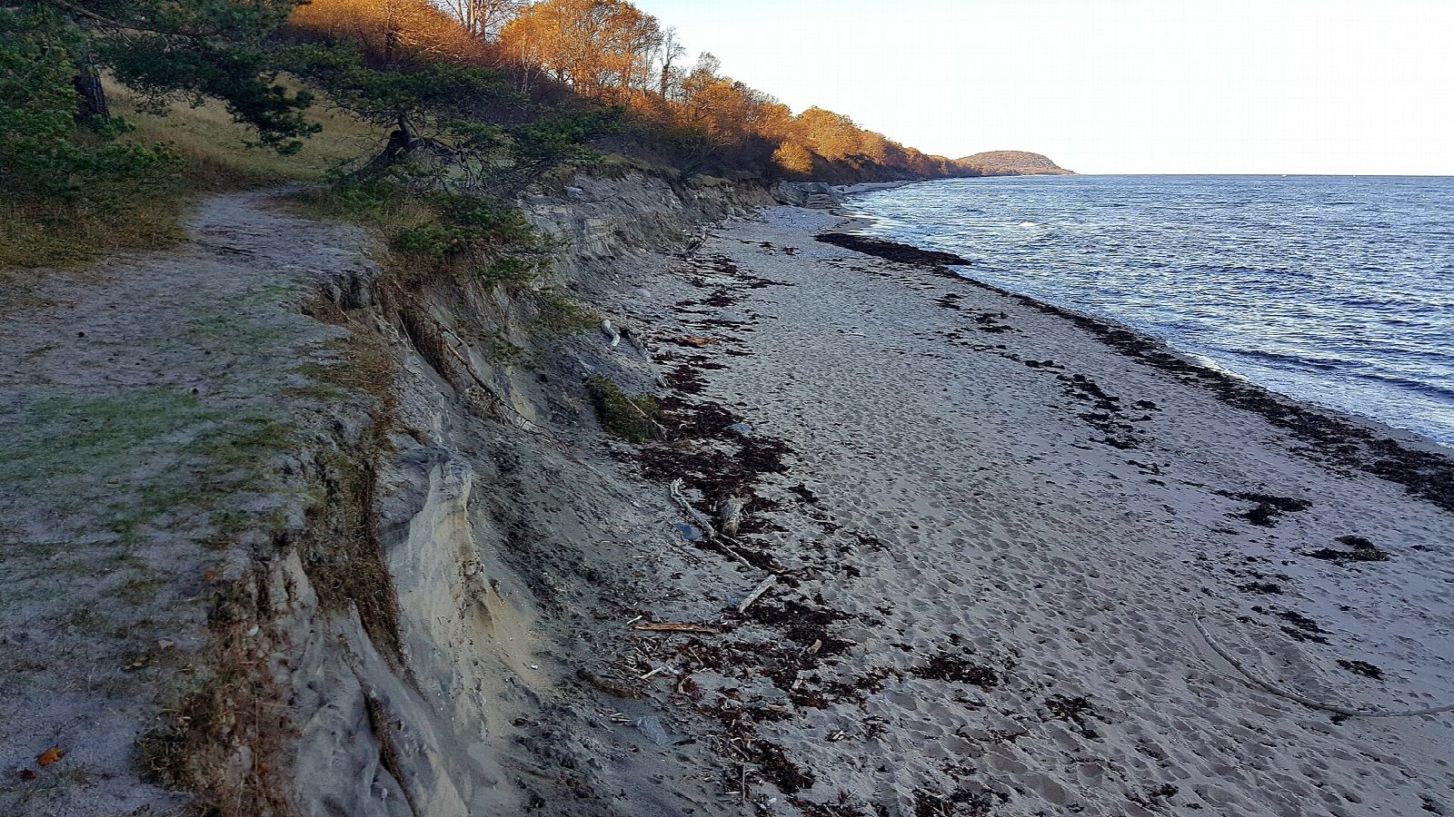
From the car park at the main entrance to Stenshuvud National Park, by the naturum, follow the red markers north through hornbeam forest and past old oaks. The path climbs through the wall of an Iron Age hillfort to the north top of Stenshuvud, 97 m, the highest of its three tops, looking out over the Baltic. Go down the stairs on the far side to the shore and follow the yellow-marked path south round the foot of the hill, then along the sandy beach and back inland to the start.
It is 3.5 km round with 92 m of ascent; allow about an hour. The grade is Easy, but the stairs and the shore path below the hill are very stony.
Dogs must be on a lead, and are not allowed on the beach from 1 June to 31 August. Cattle graze parts of the park from mid-May to mid-November. Fires are allowed only at the grills provided. The naturum is open in October from Tuesday to Thursday, 11:00 to 15:00, and at weekends, 11:00 to 16:00.
There are three car parks, often full in the holidays and at weekends; the main one is reached from road 9. Skåneexpressen bus 3 stops at Mellby skola, about 3 km away, and the park gives walking directions from there.
Route drawn by Global Adventurer along OpenStreetMap paths (© OpenStreetMap contributors, ODbL), with figures worked out from it. Check the forecast and the ground on the day: paths change.
Good to know
- Stenshuvud, 97 m, rises straight from the Baltic coast of Österlen, its slopes covered in hornbeam and old oaks
- The red-marked path climbs through the wall of an Iron Age hillfort to the north top
- Stairs lead down to the yellow-marked shore path, very stony in places, and back along the sandy beach
- Dogs must be on a lead, and are not allowed on the beach from 1 June to 31 August
Summits on the way
- Stenshuvud 97 m
Getting there
Start: Stenshuvud main entrance car park · Free parking. 55.65579, 14.26786
Places to stay nearby
Rooms in and around Skåne: Booking.com → Expedia →
Affiliate links: if you book, Global Adventurer earns a small commission at no cost to you.
Paths change, and the weather decides the day. The line and figures come from OpenStreetMap and our own checks; take a map, check the forecast, and turn back if it isn't right.