Line © OpenStreetMap contributors (ODbL), checked by Global Adventurer.
The walk
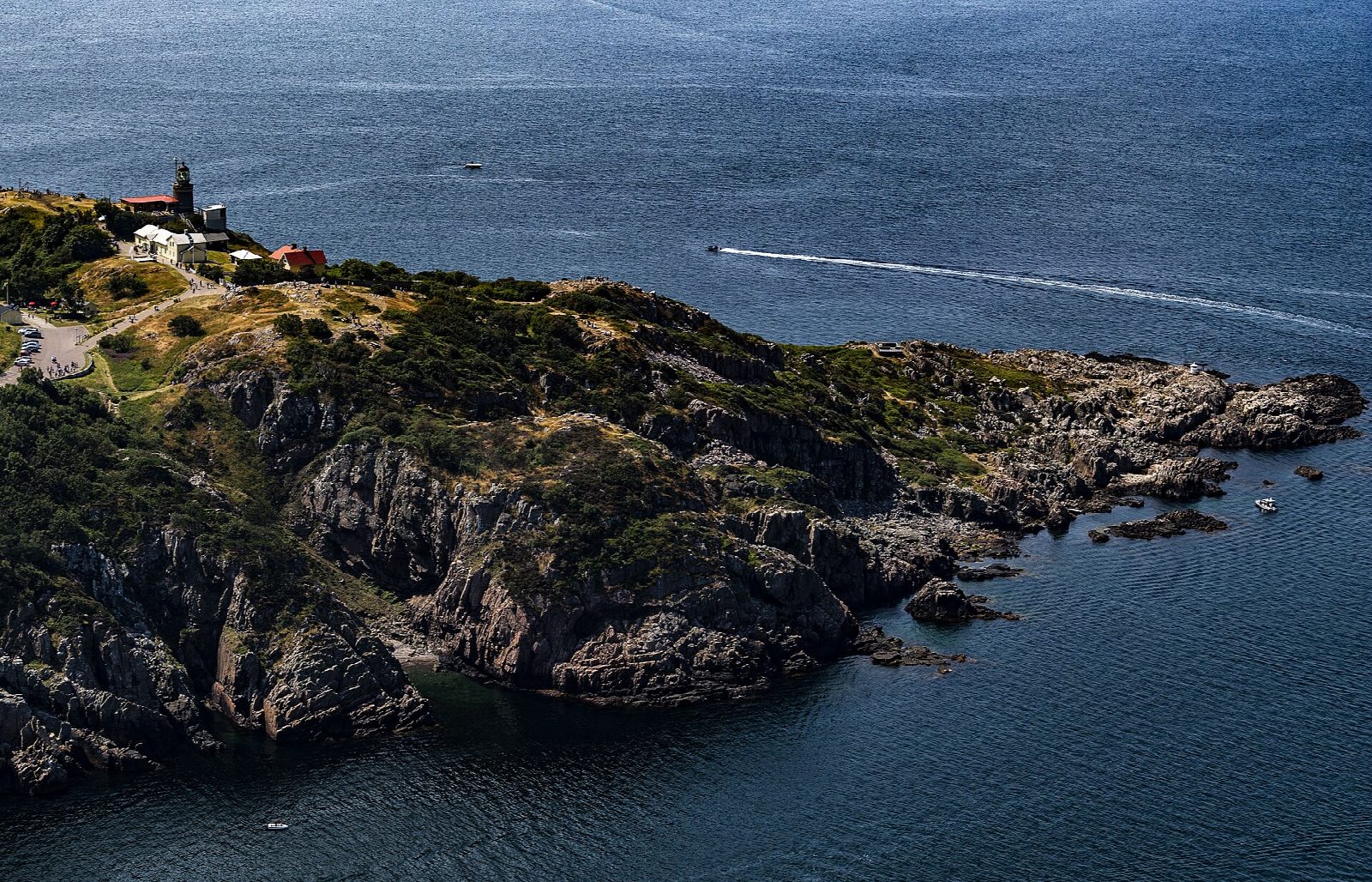
From the harbour at Mölle, follow the coast path north-west past Solvik to Ransvik, a bathing place with a café. Climb onto the south slope of Kullaberg and follow the path west through scrub oak and beech, high above the sea, to Kullens fyr at the tip of the peninsula, the brightest lighthouse in Sweden. From the lighthouse the path turns east along the north side, above the steep cliffs, to the viewpoint at Josefinelust. Return south through the beech woods and down into Mölle.
It is 10.1 km round with 255 m of ascent; allow about 3 hours. The grade is Moderate, but the path is hilly, with steeper rocky parts, loose stones and roots, and it is slippery in rain.
The north side has sheer drops; keep to the path. Dogs must be on a lead all year. From 1 March to 15 July parts of the reserve are closed to protect birds and porpoises, and climbing is allowed only in the marked areas. The naturum by the lighthouse is open daily from 11:00 to 16:00 until 1 November.
Parking in the reserve's marked car parks is free, and there are car parks in Mölle. Buses run from Helsingborg to Mölle all year; in summer a bus goes on to the lighthouse.
Route drawn by Global Adventurer along OpenStreetMap paths (© OpenStreetMap contributors, ODbL), with figures worked out from it. Check the forecast and the ground on the day: paths change.
Good to know
- Kullaberg is a ridge of ancient rock running out into the Kattegat, with cliffs, caves and beech woods
- Kullens fyr, at the tip, is the brightest lighthouse in Sweden
- Ransvik has a bathing place and café; Josefinelust has a viewpoint over the north cliffs
- Dogs must be on a lead all year; parking in the reserve's marked car parks is free
Getting there
Start: Mölle harbour car park. 56.28325, 12.49462
Places to stay nearby
Rooms in and around Skåne: Booking.com → Expedia →
Affiliate links: if you book, Global Adventurer earns a small commission at no cost to you.
Paths change, and the weather decides the day. The line and figures come from OpenStreetMap and our own checks; take a map, check the forecast, and turn back if it isn't right.