Line © OpenStreetMap contributors (ODbL), checked by Global Adventurer.
The walk
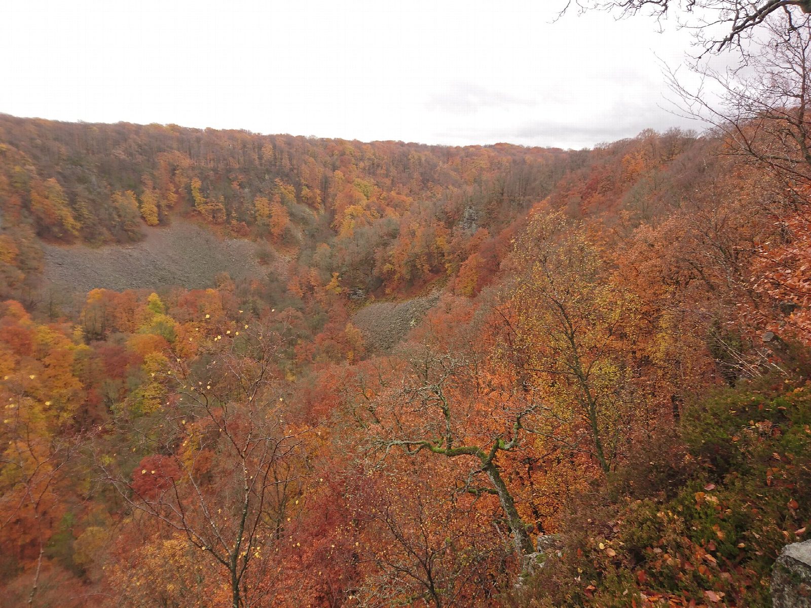
From the car park at Skäralid, by Naturum Söderåsen on road 13, follow the yellow markers of Kopparhattsrundan down into the Skäralid ravine, a rift valley with steep wooded sides and scree slopes. The path runs along the valley for about 2 km, then climbs Offavägen to Kopparhatten, the highest point in the park, where a viewing platform looks out over the ravine. The way back runs along the top. Since the long staircase by the naturum was taken away, the park has signed a longer way round to Skäralid, which this line follows.
It is 5.5 km round with 118 m of ascent; allow about 1½ hours. The grade is Easy: forest paths with about 200 steps and some steep climbs.
Dogs must be on a lead, and climbing on the rock is not allowed. There is no lighting fires, barbecues or staying overnight at Kopparhatten; elsewhere camping and fires are only at the marked places. The naturum is open from Wednesday to Friday, 12:00 to 16:00, and at weekends, 11:00 to 16:00, until 1 November.
Parking along road 13 at Skäralid is free, but often full at weekends and in the holidays. Bus 518 stops at Skäralid, nationalparken, and connects with trains at Klippan and Stehag.
Route drawn by Global Adventurer along OpenStreetMap paths (© OpenStreetMap contributors, ODbL), with figures worked out from it. Check the forecast and the ground on the day: paths change.
Good to know
- Söderåsen National Park's best-known walk: down into the Skäralid rift valley and up to the Kopparhatten viewpoint, the park's highest point
- The yellow-marked Kopparhattsrundan is about 4 km with 90 m of height difference and about 200 steps
- The long staircase by the naturum has been taken away, so the way back to Skäralid follows signs and is longer
- Dogs must be on a lead; climbing on the rock is not allowed
Getting there
Start: Skäralid car park · Free parking. 56.03902, 13.25328
Places to stay nearby
Rooms in and around Skåne: Booking.com → Expedia →
Affiliate links: if you book, Global Adventurer earns a small commission at no cost to you.
Paths change, and the weather decides the day. The line and figures come from OpenStreetMap and our own checks; take a map, check the forecast, and turn back if it isn't right.
