Line © OpenStreetMap contributors (ODbL), checked by Global Adventurer.
The walk
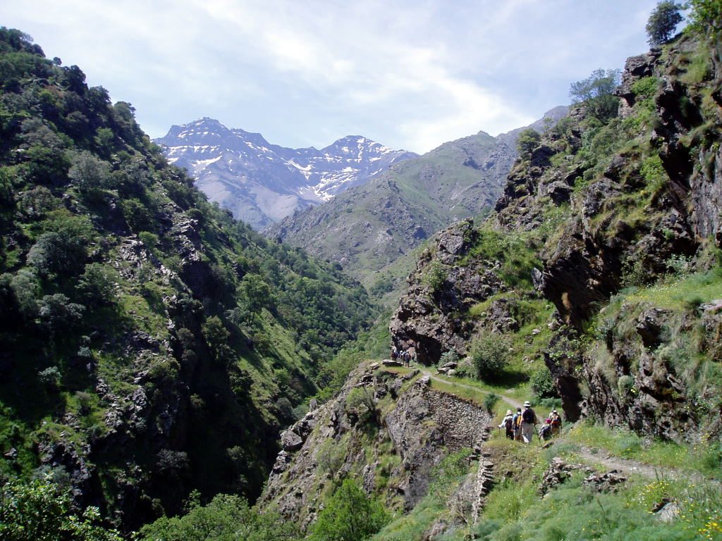
The walk starts at the car park by the Barranco de San Juan, at the end of the narrow road from Güéjar Sierra that follows the bed of the old Sierra Nevada tramway. Cross the Genil by the wooden bridge and climb to the path, which then runs almost level along the valley side, past the old chestnut called El Abuelo and the viewpoint of El Viso, with the north faces of Alcazaba and Mulhacén ahead. It passes the ruins of the Probadora and Estrella mines, crosses the Guarnón and reaches El Real, where two rivers meet, before a last climb up the Valdecasillas valley to the Cueva Secreta, a rock shelter. Return the same way.
It is 21.2 km there and back with 574 m of climbing; allow about 7 hours. The grade is Hard, for the distance: the path is narrow but easy, cut into the hillside.
There are unfenced drops beside the path, and the old mine mouths are unsafe to enter. There is no phone signal and no drinking fountain. Snow and ice lie on the upper part in winter; in summer the lower valley is hot.
The road in is single-track through the old tram tunnels. The bus from Granada goes only as far as Güéjar Sierra, nearly 6 km short.
Route drawn by Global Adventurer along OpenStreetMap paths (© OpenStreetMap contributors, ODbL), with figures worked out from it. Check the forecast and the ground on the day: paths change.
Good to know
- A miners' path of the late 19th century, cut along the side of the Genil valley
- It walks towards the north faces of Alcazaba and Mulhacén
- The road in follows the bed of the old Sierra Nevada tramway, through its narrow tunnels
- No phone signal, unfenced drops, and old mine mouths to keep out of
Getting there
Start: Barranco de San Juan · Free parking. 37.13440, -3.39196
Places to stay nearby
Rooms in and around Sierra Nevada: Booking.com → Expedia →
Affiliate links: if you book, Global Adventurer earns a small commission at no cost to you.
Paths change, and the weather decides the day. The line and figures come from OpenStreetMap and our own checks; take a map, check the forecast, and turn back if it isn't right.

