Line © OpenStreetMap contributors (ODbL), checked by Global Adventurer.
The walk
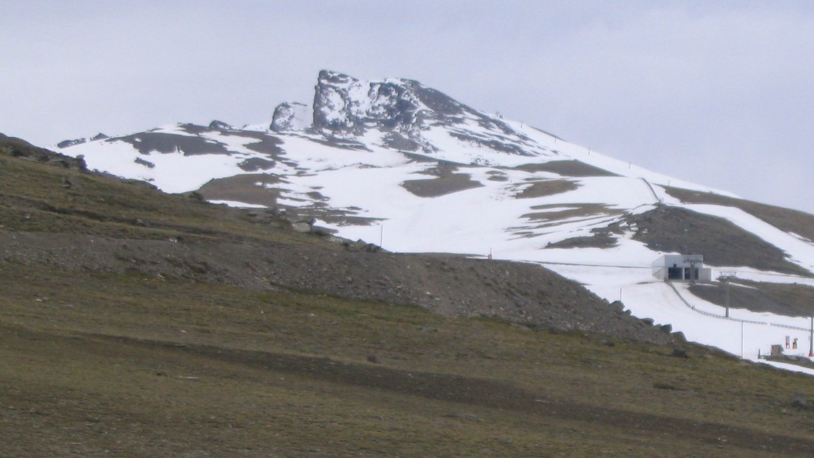
The walk starts at Hoya de la Mora, above Pradollano, where a barrier closes the old Veleta road at about 2,500 m. Paths cut straight up across the bends of the road, past the monument to the Virgen de las Nieves, to the Posiciones del Veleta at about 3,100 m. Above them the stony ridge of the Panderón leads to the summit pillar at about 3,396 m, on the edge of the cliffs, with Mulhacén and Alcazaba to the east. Return the same way.
It is 10.4 km there and back with 855 m of climbing; allow about 6 hours. The grade is Hard: clear paths and old tarmac, but steep, stony and very high.
There is no water on the way and no shade, and the air is thin: go slowly and carry plenty. From July to October the national park's bus runs from Hoya de la Mora to the Posiciones del Veleta and shortens the climb.
In winter and spring this is a snow climb that needs ice axe and crampons, not a walk. On busy winter days the road up to Hoya de la Mora is itself limited to authorised vehicles.
Route drawn by Global Adventurer along OpenStreetMap paths (© OpenStreetMap contributors, ODbL), with figures worked out from it. Check the forecast and the ground on the day: paths change.
Good to know
- The second summit of the Sierra Nevada, about 3,396 m, straight above Granada
- The old road to the top, once the highest in Europe, has been closed to traffic since 1999: paths cut across its bends
- No water on the way, and little air: go slowly
- In winter and spring this is a snow climb, not a walk
Summits on the way
- Pico del Veleta 3,396 m
- Salón 3,352 m · passed close by
Getting there
Start: Hoya de la Mora · Free parking. 37.09395, -3.38631
Places to stay nearby
Rooms in and around Sierra Nevada: Booking.com → Expedia →
Affiliate links: if you book, Global Adventurer earns a small commission at no cost to you.
Paths change, and the weather decides the day. The line and figures come from OpenStreetMap and our own checks; take a map, check the forecast, and turn back if it isn't right.