Line © OpenStreetMap contributors (ODbL), checked by Global Adventurer.
The walk
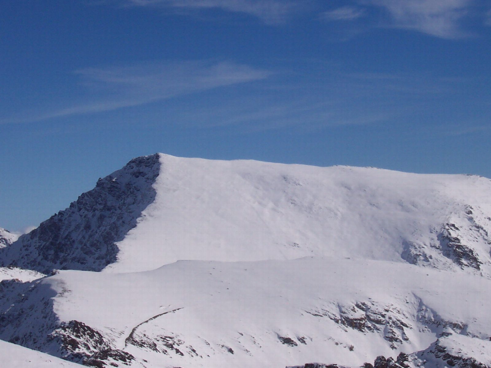
Private cars stop at the barrier at Hoya del Portillo, about 2,150 m, at the end of the road and track up from Capileira. A path climbs through the pines to the firebreak and the viewpoint of Puerto Molina, and a track then runs north over bare slopes to the Mirador de Trevélez, by the Alto del Chorrillo, at 2,700 m. From there the path climbs the broad south ridge over Mulhacén II, 3,362 m, to the summit at 3,479 m, where the north face falls away at your feet. Return the same way.
It is 26.4 km there and back with 1,401 m of climbing; allow about 11 hours. The grade is Strenuous: nothing difficult underfoot in summer, but very long and very high.
From late spring to autumn the national park runs a minibus from Capileira to the Alto del Chorrillo. It must be booked, and from where it stops the summit is about 13 km there and back.
Altitude is the commonest reason for turning back: go slowly and drink. Summer brings fierce sun and sudden storms, and water is scarce late in the season; the Poqueira refuge has been closed for works. For much of the year the ridge lies under snow and ice and needs ice axe and crampons.
Route drawn by Global Adventurer along OpenStreetMap paths (© OpenStreetMap contributors, ODbL), with figures worked out from it. Check the forecast and the ground on the day: paths change.
Good to know
- The highest mountain of the Iberian Peninsula, 3,479 m, named after Muley Hacén, a king of Nasrid Granada
- Private cars stop at the Hoya del Portillo barrier, about 2,150 m, above Capileira
- From late spring to autumn the national park's minibus from Capileira runs to the Alto del Chorrillo, 2,700 m, and halves the walk
- Altitude, sun and sudden storms in summer; snow and ice need axe and crampons for much of the year
Summits on the way
- Mulhacén II 3,362 m · passed close by
- Mulhacén Antecima Sur 3,427 m · passed close by
- Pico de Mulhacén 3,479 m
Getting there
Start: Hoya del Portillo. 36.96866, -3.33277
Places to stay nearby
Rooms in and around Sierra Nevada: Booking.com → Expedia →
Affiliate links: if you book, Global Adventurer earns a small commission at no cost to you.
Paths change, and the weather decides the day. The line and figures come from OpenStreetMap and our own checks; take a map, check the forecast, and turn back if it isn't right.
