Line © OpenStreetMap contributors (ODbL), checked by Global Adventurer.
The walk
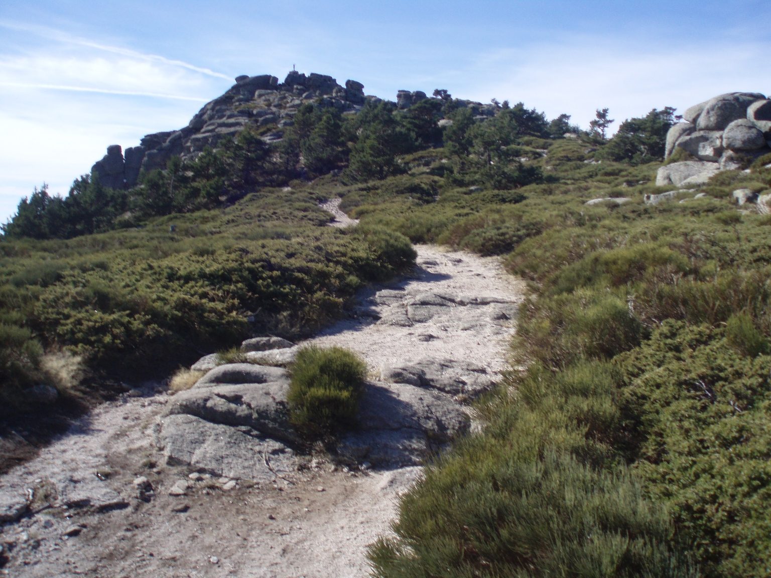
From the Puerto de Navacerrada the path climbs to the Alto del Telégrafo and drops to the Pradera de Siete Picos, a clearing on the ridge. It then climbs to Somontano, at 2,138 m the highest of the seven tops, and follows the crest west past one pile of granite after another, down to the Collado Ventoso. The way back is the Camino Schmid, marked with yellow dots, which contours through the pine forest on the north side of the ridge to the pass.
It is 8.7 km round with 412 m of climbing; allow about 3½ hours. The grade is Moderate: rough granite paths on the crest, an easy forest path home.
Each top is a short scramble on bare granite, exposed in places and slippery when wet: all are optional, and the path passes below them. The Camino Schmid crosses a north-facing ski run that ices over in winter, when the whole round needs winter kit. The springs on the way are not reliable, so carry water.
No permit is needed. The car parks at the pass fill early at weekends, and the railway to the pass is closed for works.
Route drawn by Global Adventurer along OpenStreetMap paths (© OpenStreetMap contributors, ODbL), with figures worked out from it. Check the forecast and the ground on the day: paths change.
Good to know
- A ridge of seven granite tops; Somontano, the highest, is 2,138 m
- Out along the crest and back through the pines by the Camino Schmid, waymarked in 1926
- Each top is an optional scramble on granite, and slippery when wet
- The Camino Schmid crosses a north-facing ski run that ices over in winter
Summits on the way
- Alto del Telégrafo 1,978 m
- Pico Somontano 2,138 m
Getting there
Start: Puerto de Navacerrada · Free parking. 40.78797, -4.00352
Places to stay nearby
Rooms in and around Sierra de Guadarrama: Booking.com → Expedia →
Affiliate links: if you book, Global Adventurer earns a small commission at no cost to you.
Paths change, and the weather decides the day. The line and figures come from OpenStreetMap and our own checks; take a map, check the forecast, and turn back if it isn't right.