Line © OpenStreetMap contributors (ODbL), checked by Global Adventurer.
The walk
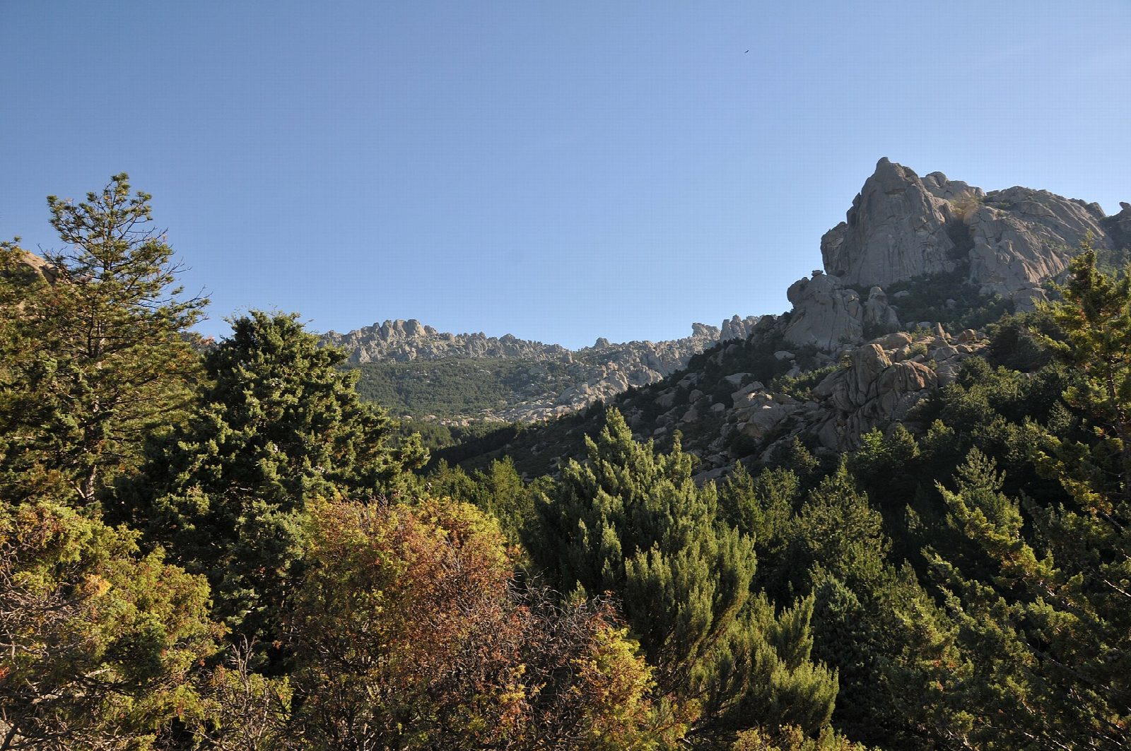
From Canto Cochino cross the Río Manzanares and follow the broad path known as the Autopista up the valley to the Refugio Giner de los Ríos and the huge boulder of El Tolmo, then climb to the Collado de la Dehesilla. Turn right there on a rougher path that works south among the granite to the Pradera del Yelmo, the meadow at the foot of the dome, at about 1,680 m. The way down drops to the Gran Cañada and follows the Barranco de los Huertos back to Canto Cochino.
It is 10.2 km round with 591 m of climbing; allow about 4½ hours. The grade is Hard: rough, bouldery granite paths that are easy to lose, above all on the way down.
The top of the dome, 1,717 m, is reached only by a narrow chimney of 15 to 20 m, a scramble with your rucksack off. It is optional and not part of this line. Do not come here in rain or mist. In summer it is hot and there is no water.
The road to Canto Cochino has a barrier and a limit of 270 parked cars. From October to May it is open on weekdays, but at weekends and on holidays no cars are let in between 10.30 am and 4 pm; from June to September cars may enter only early and late in the day.
Route drawn by Global Adventurer along OpenStreetMap paths (© OpenStreetMap contributors, ODbL), with figures worked out from it. Check the forecast and the ground on the day: paths change.
Good to know
- Round the great granite dome of La Pedriza, to the meadow at its foot at about 1,680 m
- The top of the dome, 1,717 m, is reached only by a narrow chimney: a scramble, and optional
- The road to Canto Cochino has a barrier and a limit of 270 cars: at weekends it shuts for the middle of the day
- Rough granite paths that are easy to lose: not a walk for rain or mist
Summits on the way
- El Acebo 1,631 m · passed close by
- Las Tres Gracias 1,581 m · passed close by
Getting there
Start: Canto Cochino. 40.74925, -3.89628
Places to stay nearby
Rooms in and around Sierra de Guadarrama: Booking.com → Expedia →
Affiliate links: if you book, Global Adventurer earns a small commission at no cost to you.
Paths change, and the weather decides the day. The line and figures come from OpenStreetMap and our own checks; take a map, check the forecast, and turn back if it isn't right.