Line © OpenStreetMap contributors (ODbL), checked by Global Adventurer.
The walk
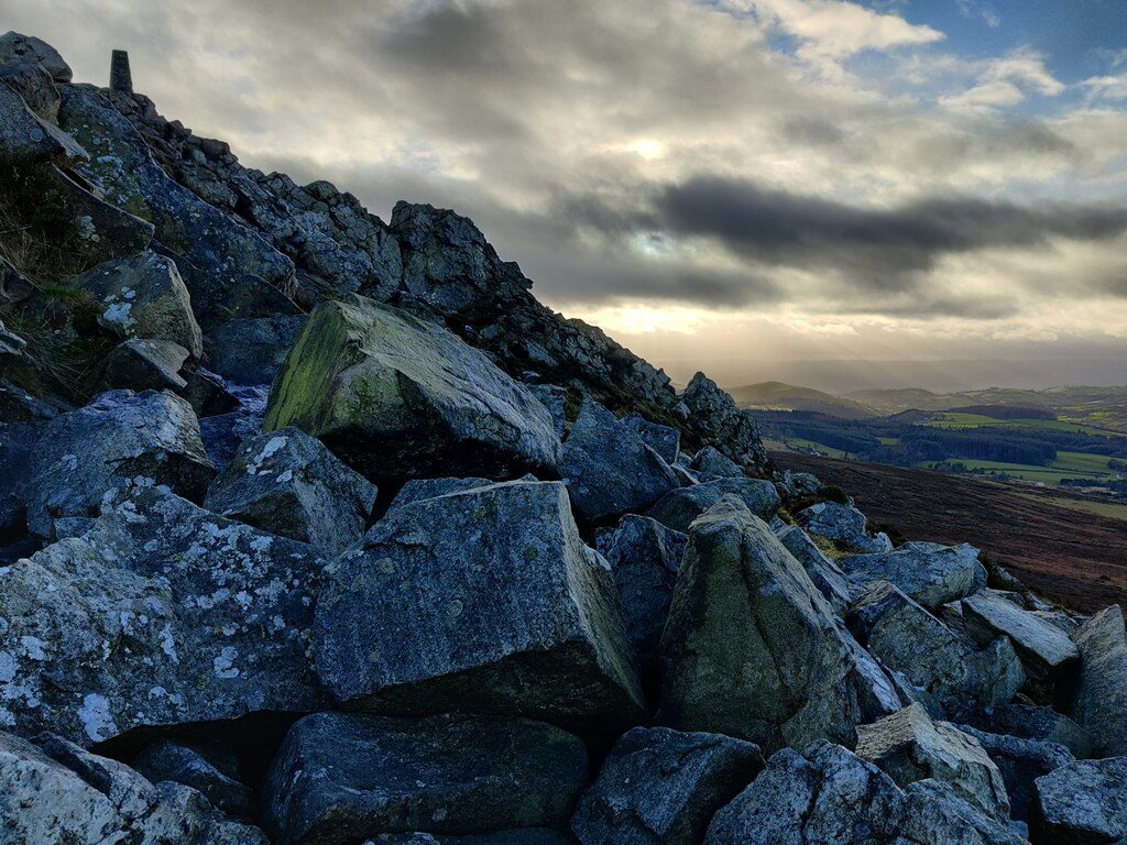
From the Knolls car park the walk climbs the broad path on to the Stiperstones ridge, past Cranberry Rock to Manstone Rock, the highest point at 536 m. It follows the rough path north along the ridge to the Devil's Chair, the biggest and best-known of the jagged quartzite tors, and on to Shepherd's Rock, with views across to Corndon Hill and into Wales. From there it drops east to the bridleway that runs below the ridge and follows it back south to the car park.
It is 5.9 km with 155 m of ascent; allow about 2 hours. The grade is Easy. The ridge path is broken quartzite, rough and ankle-turning.
Wear boots: the stones are slippery when wet and the ridge is exposed to wind and mist. The ridge is a National Nature Reserve with heather, bilberry and ground-nesting birds, so keep dogs on leads in spring and summer. Do not climb on the tors.
The Knolls car park is run for the nature reserve and asks for a donation. There is no station near; the nearest is Church Stretton, about 10 km away.
Route drawn by Global Adventurer along OpenStreetMap paths (© OpenStreetMap contributors, ODbL), with figures worked out from it. Check the forecast and the ground on the day: paths change.
Good to know
- Up the quartzite ridge past Cranberry Rock to Manstone Rock, the highest point
- The Devil's Chair, the best-known of the Stiperstones' rocky tors
- On to Shepherd's Rock and back along the bridleway below the ridge
- Heather and bilberry heath in a National Nature Reserve
Summits on the way
- Stiperstones 537 m · passed close by
Getting there
Start: The Knolls car park. 52.57364, -2.93179
Places to stay nearby
Rooms in and around Church Stretton: Booking.com → Expedia →
Affiliate links: if you book, Global Adventurer earns a small commission at no cost to you.
Paths change, and the weather decides the day. The line and figures come from OpenStreetMap and our own checks; take a map, check the forecast, and turn back if it isn't right.