Line © OpenStreetMap contributors (ODbL), checked by Global Adventurer.
The walk
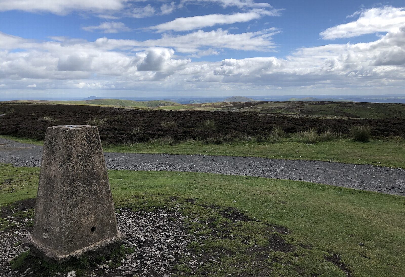
From Church Stretton the walk goes up the Town Brook to the National Trust's Carding Mill Valley and climbs Mott's Road, an old track, on to the top of the Long Mynd. It crosses the heather moor past Boiling Well to Pole Bank, at 516 m the highest point, with views to Cadair Idris on a clear day. The way heads south past Pole Cottage and over Round Hill and Barrister's Plain, then down the ridge by Grindle and Small Batch to Little Stretton. A path along the valley leads back north to Church Stretton.
It is 12.4 km with 484 m of ascent; allow about 4½ hours. The grade is Moderate. The climb up Mott's Road is long and steady.
The top of the Long Mynd is high, open moorland and featureless in mist, so carry a map. The walk crosses the road over the top; watch for traffic, and for gliders from the club nearby. Sheep and ponies graze freely, so keep dogs on leads.
The Easthope Road car park in Church Stretton is pay and display. Church Stretton station is at the start.
Route drawn by Global Adventurer along OpenStreetMap paths (© OpenStreetMap contributors, ODbL), with figures worked out from it. Check the forecast and the ground on the day: paths change.
Good to know
- Up Carding Mill Valley and Mott's Road on to the Long Mynd
- Pole Bank, the highest point of the Long Mynd at 516 m
- South past Pole Cottage and over Round Hill, then down to Little Stretton
- Back along the valley to Church Stretton
Summits on the way
- Long Mynd - Pole Bank 517 m · passed close by
- Grindle 459 m · passed close by
Getting there
Start: Easthope Road car park, Church Stretton · Pay and display. 52.53781, -2.80657
By train: Church Stretton station is 0.2 km from the start.
Places to stay nearby
Rooms in and around Easthope Road car park: Booking.com → Expedia →
Affiliate links: if you book, Global Adventurer earns a small commission at no cost to you.
Paths change, and the weather decides the day. The line and figures come from OpenStreetMap and our own checks; take a map, check the forecast, and turn back if it isn't right.