Line © OpenStreetMap contributors (ODbL), checked by Global Adventurer.
The hike
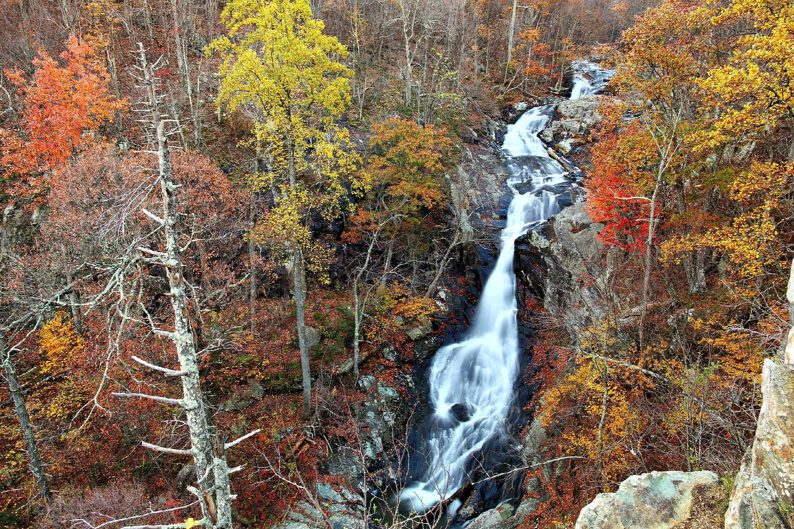
The walk starts at the Whiteoak Canyon parking area on Skyline Drive at mile 42.6, opposite the south entrance to Skyland. Take the Whiteoak Canyon Trail, which drops gently at first through the forest. It crosses the Old Rag Fire Road and the Limberlost Trail, then follows the stream down as the valley narrows and steepens, crossing it on a footbridge. About 2.3 miles from the start it comes to a rocky ledge with a view across the canyon to the upper falls. Return the same way.
It is 4.7 miles (7.5 km) round trip with 930 feet (284 m) of climbing; allow about 2½ hours. The grade is Easy on our scale, which goes by time. All the climbing is on the way back, and the park rates the walk moderate and allows three to four hours.
The ledge is unfenced and the rocks near the falls are slippery; people have been badly hurt in this canyon, so stay on the trail. The trail goes on steeply down past five more waterfalls, which makes a much harder day.
You need a park entrance pass: $30 a vehicle for seven days, paid by card only. Dogs are allowed on a leash no longer than six feet. The car park fills early on fine weekends. Skyline Drive is closed at times in snow and ice.
Route drawn by Global Adventurer along OpenStreetMap paths (© OpenStreetMap contributors, ODbL), with figures worked out from it. Check the forecast and the ground on the day: paths change.
Good to know
- The upper falls are the first of six waterfalls in the canyon, seen from a rocky ledge
- The climb back up to Skyline Drive is the hard part
- Wet rocks by the falls are slippery: people have been badly hurt here
Getting there
Start: Whiteoak Canyon parking area (Skyline Drive mile 42.6). 38.58559, -78.38319
Places to stay nearby
Rooms in and around Shenandoah: Booking.com → Expedia →
Affiliate links: if you book, Global Adventurer earns a small commission at no cost to you.
Paths change, and the weather decides the day. The line and figures come from OpenStreetMap and our own checks; take a map, check the forecast, and turn back if it isn't right.