Line © OpenStreetMap contributors (ODbL), checked by Global Adventurer.
The hike
The walk starts at the Stony Man parking area on Skyline Drive at mile 41.7, by the north entrance to Skyland. Take the Appalachian Trail from the car park, climbing gently through the forest to a trail post where the blue-blazed Stony Man Trail leaves it. The Stony Man Trail makes a small loop over the top of the mountain: follow it up to the viewpoint on the cliffs, then carry on round the loop to rejoin your outward path and return down the Appalachian Trail.
It is 1.6 miles (2.5 km) round trip with 310 feet (94 m) of climbing; allow about an hour. The grade is Easy: a gentle climb on a good path, and the park's easiest rating.
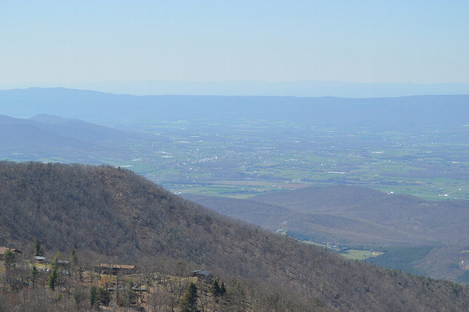
Stony Man is the second-highest summit in the park, at 4,011 feet. The cliffs look out over the Shenandoah Valley to Massanutten Mountain and beyond. They are unfenced and drop sheer, so keep children close and stay back from the edge.
You need a park entrance pass: $30 a vehicle for seven days, paid by card only. Pets are not allowed on the Stony Man Trail. The car park is small and fills on fine weekends, most of all in October. Skyline Drive is closed at times in snow, ice and other bad weather, so check its status before you set out in winter.
Route drawn by Global Adventurer along OpenStreetMap paths (© OpenStreetMap contributors, ODbL), with figures worked out from it. Check the forecast and the ground on the day: paths change.
Good to know
- At 4,011 ft, the park's second-highest summit
- Cliffs at the top look west over the Shenandoah Valley to Massanutten Mountain
- One of the easiest big views in the park; the car park fills on autumn weekends
Summits on the way
- Stony Man 4,003 ft (1,220 m)
Getting there
Start: Stony Man parking area, Skyland north entrance (mile 41.7). 38.59323, -78.37603
Places to stay nearby
Rooms in and around Stony Man parking area: Booking.com → Expedia →
Affiliate links: if you book, Global Adventurer earns a small commission at no cost to you.
Paths change, and the weather decides the day. The line and figures come from OpenStreetMap and our own checks; take a map, check the forecast, and turn back if it isn't right.