Line © OpenStreetMap contributors (ODbL), checked by Global Adventurer.
The hike
The walk starts at the registration parking area of Mathews Arm Campground, off Skyline Drive at mile 22.2. Take the Traces Trail from the car park to the yellow-blazed Mathews Arm Road, which becomes the Mathews Arm Trail. Keep right where the Beecher Ridge Trail leaves, and follow the trail down to its junction with the Tuscarora-Overall Run Trail. Turn left. In about a tenth of a mile a side path gives a view of the upper falls; carry on downhill for another quarter of a mile to the rock ledges that face the main falls. Return the same way.
It is 4.7 miles (7.5 km) round trip with 930 feet (282 m) of climbing; allow about 2½ hours. The grade is Easy on our scale, which goes by time; the park rates it moderately strenuous and allows four hours.
Unless there has been plenty of rain the falls may be a trickle, or dry. The ledges are unfenced, and some rock is closed to protect rare plants.
The campground is open only in season, from April 29 to November 1 in 2026. When it is closed, park at mile 21 on Skyline Drive and take the Appalachian Trail to the Tuscarora-Overall Run Trail, which adds about a mile. You need a park entrance pass: $30 a vehicle for seven days, paid by card only.
Route drawn by Global Adventurer along OpenStreetMap paths (© OpenStreetMap contributors, ODbL), with figures worked out from it. Check the forecast and the ground on the day: paths change.
Good to know
- At 93 ft, the tallest waterfall in Shenandoah National Park
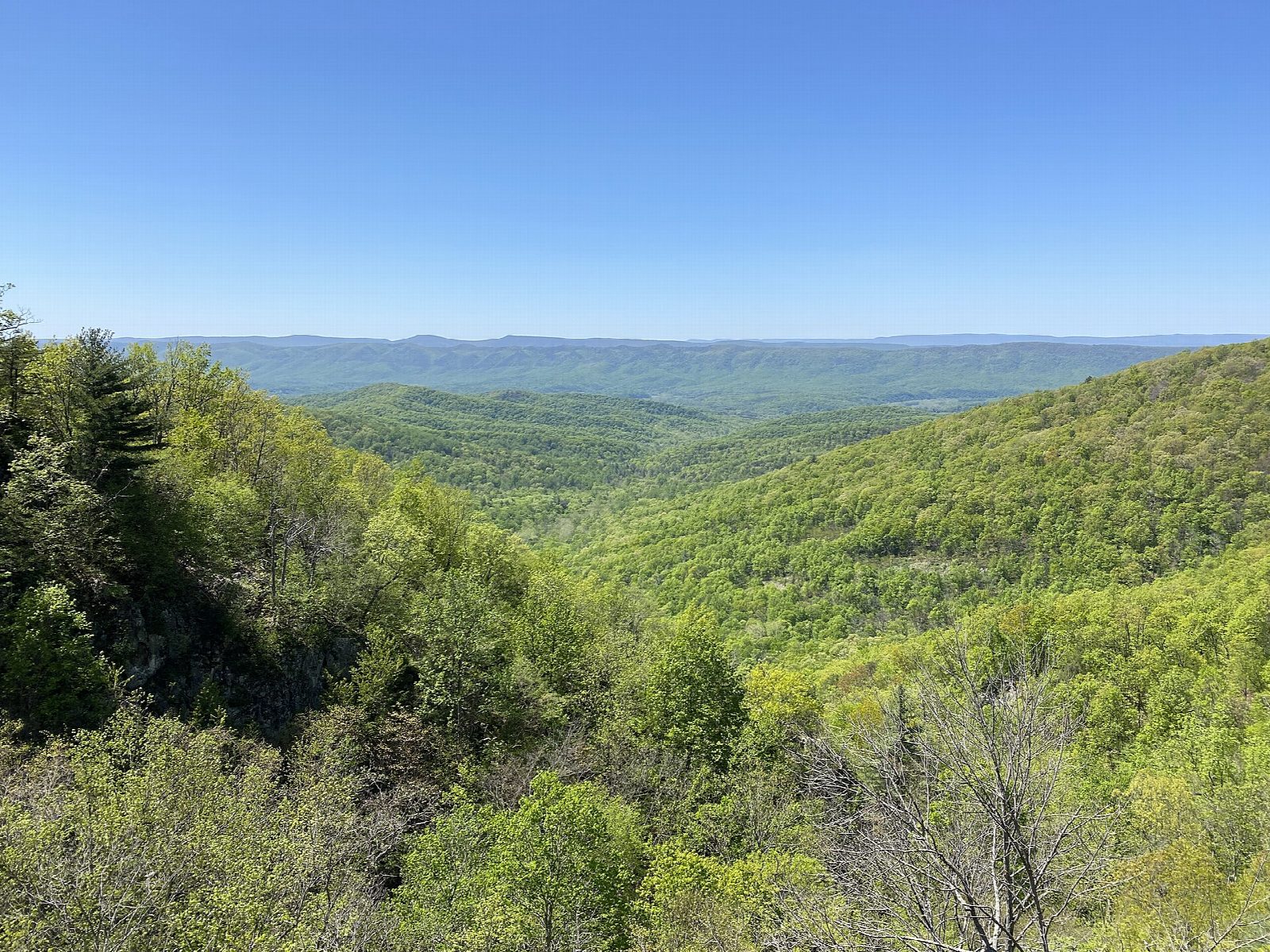
- Rock ledges beside the falls look out over the Page Valley
- Mathews Arm Campground is seasonal; the falls can be a trickle by late summer
Getting there
Start: Mathews Arm Campground registration parking (Skyline Drive mile 22.2). 38.76014, -78.29741
Places to stay nearby
Rooms in and around Shenandoah: Booking.com → Expedia →
Affiliate links: if you book, Global Adventurer earns a small commission at no cost to you.
Paths change, and the weather decides the day. The line and figures come from OpenStreetMap and our own checks; take a map, check the forecast, and turn back if it isn't right.
