Line © OpenStreetMap contributors (ODbL), checked by Global Adventurer.
The hike
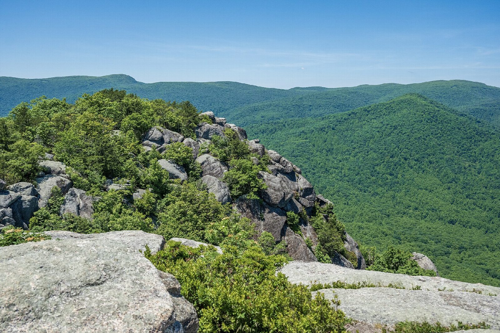
The walk starts at the Old Rag overflow parking on Nethers Road; the main lot is closed for works until about November 2026. Follow the Old Rag Access Trail to the trailhead and take the blue-blazed Ridge Trail up through the forest. Higher up it becomes a rock scramble about a mile long, with squeezes and big steps, to the summit. Go down the blue-blazed Saddle Trail past Old Rag Shelter, where it turns into a fire road. At the T-junction go right, and right again onto the yellow-blazed Weakley Hollow Fire Road. Turn right on the Ridge Access Trail, then left on the Ridge Trail, back to the start.
It is 9.8 miles (15.8 km) around with 2,550 feet (778 m) of climbing; allow about 6 hours. The grade is Hard. The park rates it very strenuous and allows seven to eight hours, as the scramble is slow, with queues at busy times.
From March 1 to November 30 every hiker needs an Old Rag day-use ticket for the date, as well as a park entrance pass. Tickets cost $2 and are booked on Recreation.gov, 800 a day; they are not sold at the trailhead.
The scramble needs good upper body strength, and children often need help. Avoid it in rain or ice. Take plenty of water. Pets are not allowed on these trails.
Route drawn by Global Adventurer along OpenStreetMap paths (© OpenStreetMap contributors, ODbL), with figures worked out from it. Check the forecast and the ground on the day: paths change.
Good to know
- Up the Ridge Trail's long granite scramble, with squeezes, drops and big steps
- A day-use ticket is required March 1 to November 30, on top of the park entrance pass
- The main car park is closed for works until about November 2026: use the overflow lots
Summits on the way
- Old Rag Mountain 3,274 ft (998 m)
Getting there
Start: Old Rag parking area, Nethers Road · Parking fee. 38.57047, -78.28677
Places to stay nearby
Rooms in and around Old Rag parking area: Booking.com → Expedia →
Affiliate links: if you book, Global Adventurer earns a small commission at no cost to you.
Paths change, and the weather decides the day. The line and figures come from OpenStreetMap and our own checks; take a map, check the forecast, and turn back if it isn't right.