Line © OpenStreetMap contributors (ODbL), checked by Global Adventurer.
The hike
The walk starts at the Hawksbill Gap parking area on Skyline Drive, at mile 45.5. The Lower Hawksbill Trail leaves the car park and climbs straight up through the forest, steeply and without a break, to the Byrds Nest 2 shelter just below the top. From the shelter a short path leads on to the stone viewing platform on the summit. Return the same way.
It is 1.6 miles (2.6 km) round trip with 640 feet (196 m) of climbing; allow about 1½ hours. The grade is Easy on our scale, which goes by time. It is short, but it is steep all the way, and the park rates it moderate.
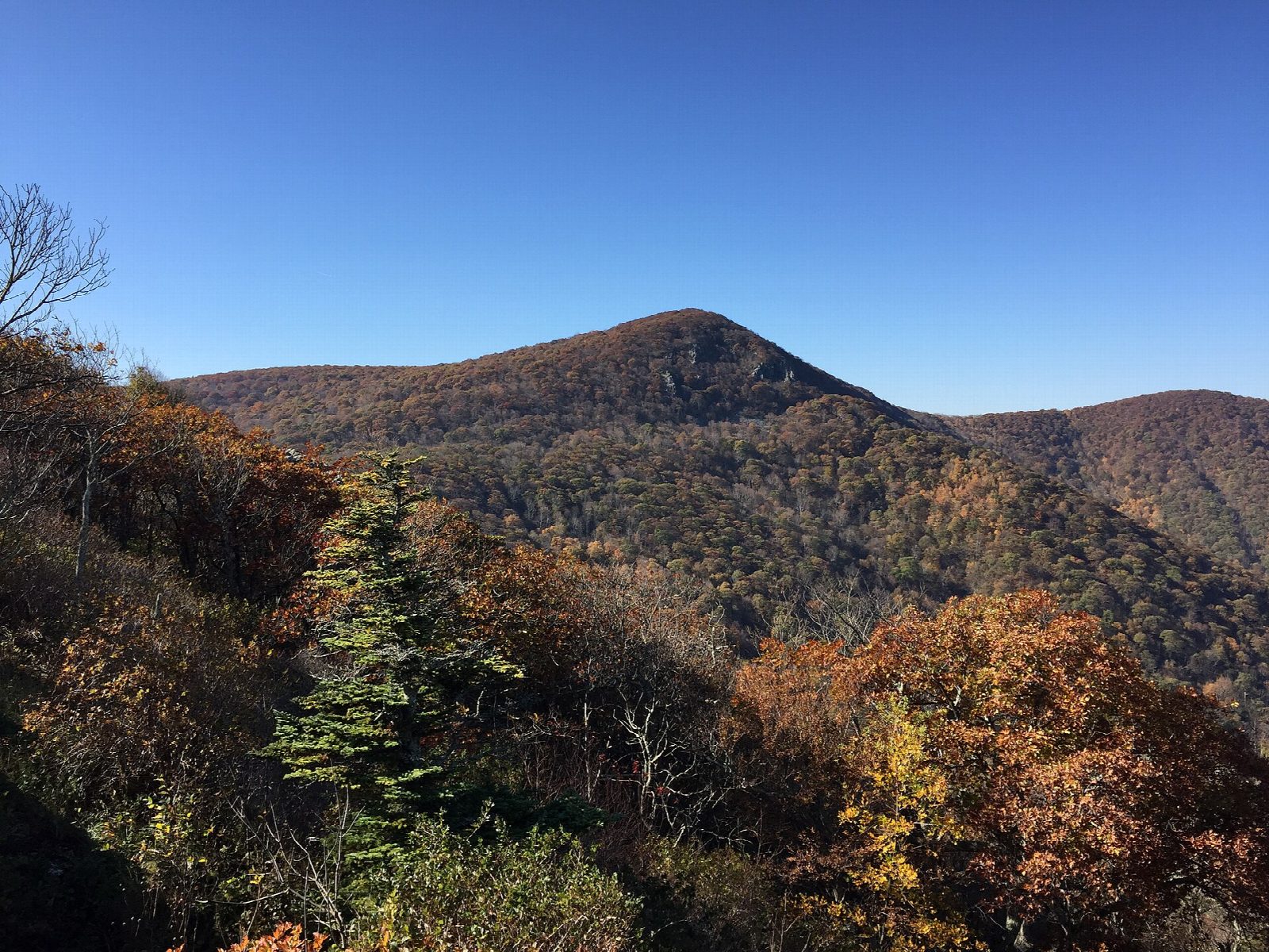
At 4,051 feet Hawksbill is the highest point in the park. The platform looks over the Shenandoah Valley, the Blue Ridge and the Virginia Piedmont. Small areas of the summit rocks are closed to protect rare plants, so keep to the trail and the platform. It is often windy and much colder on top than at the car park.
You need a park entrance pass: $30 a vehicle for seven days, paid by card only. Dogs are allowed on a leash no longer than six feet. Skyline Drive is the only road to the trailhead and is closed at times in snow, ice and other bad weather, so check its status before you set out in winter.
Route drawn by Global Adventurer along OpenStreetMap paths (© OpenStreetMap contributors, ODbL), with figures worked out from it. Check the forecast and the ground on the day: paths change.
Good to know
- At 4,051 ft, the highest point in Shenandoah National Park
- A stone viewing platform on the summit looks over the Shenandoah Valley
- Short but steep by the Lower Hawksbill Trail; a park entrance pass is needed
Summits on the way
- Hawksbill 4,042 ft (1,232 m)
Getting there
Start: Hawksbill Gap parking area (Skyline Drive mile 45.6) · Free parking. 38.55612, -78.38682
Places to stay nearby
Rooms in and around Shenandoah: Booking.com → Expedia →
Affiliate links: if you book, Global Adventurer earns a small commission at no cost to you.
Paths change, and the weather decides the day. The line and figures come from OpenStreetMap and our own checks; take a map, check the forecast, and turn back if it isn't right.