Line © OpenStreetMap contributors (ODbL), checked by Global Adventurer.
The hike
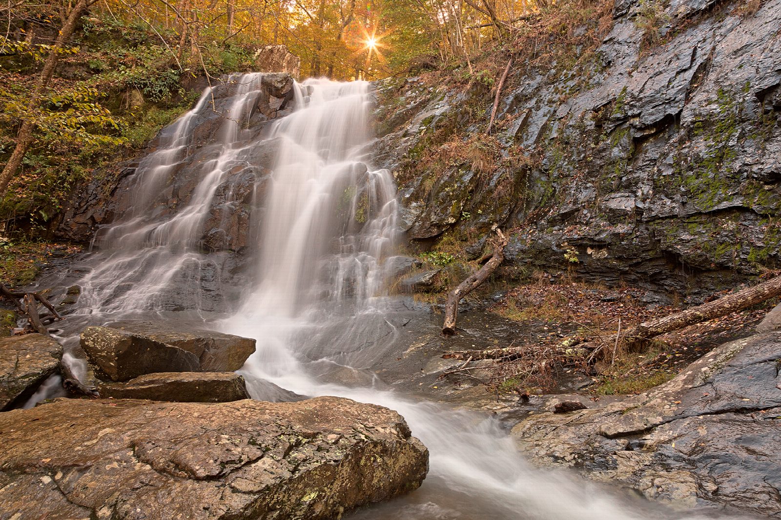
The walk starts at the Doyles River parking area on Skyline Drive, at mile 81.1. Take the blue-blazed Doyles River Trail downhill. It crosses the Appalachian Trail, passes the side paths to Doyles River Cabin and Browns Gap Road, and follows the stream down past trail posts marking the upper and then the lower Doyles River Falls. At the bottom, where the two streams meet, turn right on the Jones Run Trail and climb beside Jones Run past the 42-foot Jones Run Falls to the Jones Run parking area. Just before the car park, turn right on the Appalachian Trail and follow it north, across Skyline Drive at Browns Gap, back to the start.
It is 8.0 miles (12.9 km) around with 1,540 feet (468 m) of climbing; allow about 4½ hours. The grade is Moderate: a long descent, then a long, steady climb out of the hollow, and easier walking on the ridge.
There are stream crossings without bridges on both trails, which can be awkward after heavy rain. The rocks at all three falls are slippery. The falls run best in spring; by late summer they can be thin.
You need a park entrance pass: $30 a vehicle for seven days, paid by card only. Dogs are allowed on a leash no longer than six feet. Skyline Drive is closed at times in snow and ice.
Route drawn by Global Adventurer along OpenStreetMap paths (© OpenStreetMap contributors, ODbL), with figures worked out from it. Check the forecast and the ground on the day: paths change.
Good to know
- Three waterfalls: Upper and Lower Doyles River Falls, then Jones Run Falls
- Back to the car along the Appalachian Trail
- In the quieter South District; steep climbs out of both hollows
Getting there
Start: Doyles River parking area (Skyline Drive mile 81.1). 38.25431, -78.68271
Places to stay nearby
Rooms in and around Shenandoah: Booking.com → Expedia →
Affiliate links: if you book, Global Adventurer earns a small commission at no cost to you.
Paths change, and the weather decides the day. The line and figures come from OpenStreetMap and our own checks; take a map, check the forecast, and turn back if it isn't right.
