Line © OpenStreetMap contributors (ODbL), checked by Global Adventurer.
The hike
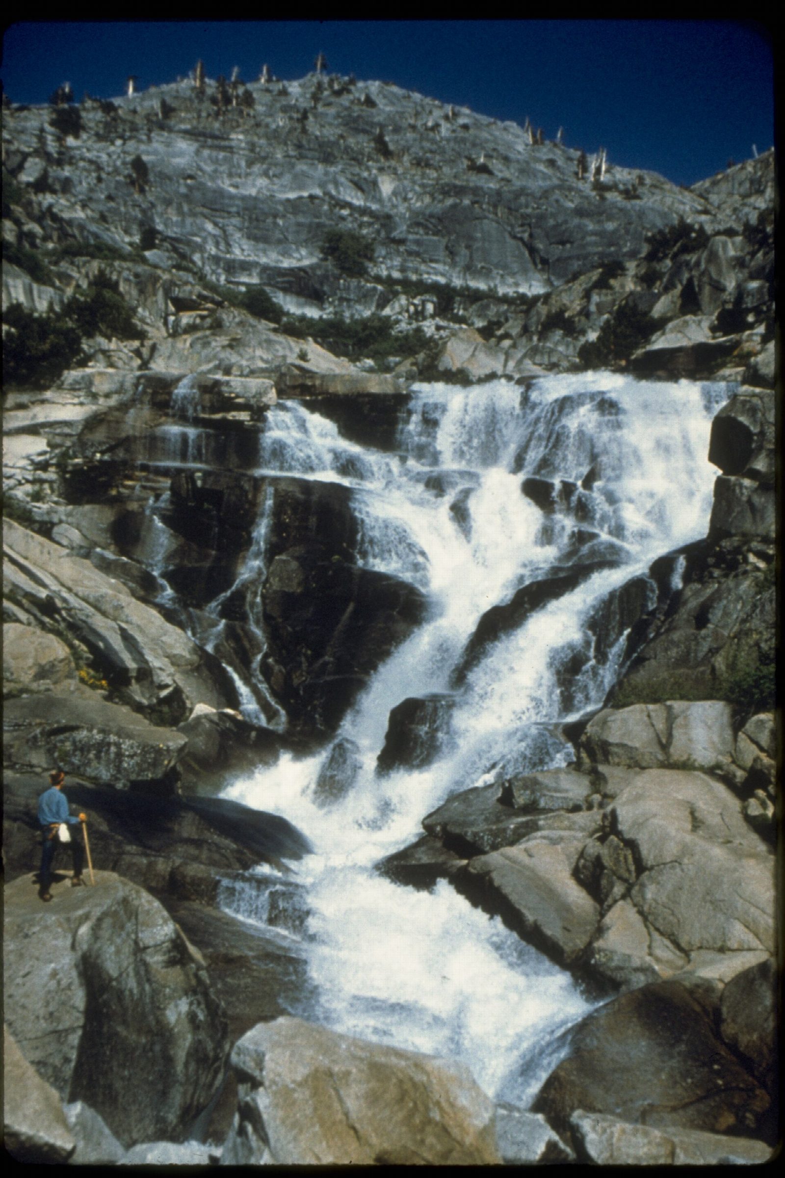
Park in the day-use lot by the entrance to Lodgepole Campground and walk through the campground to the bridge over the Marble Fork of the Kaweah River. The trailhead is just beyond the bridge. The trail follows the river upstream, over small bridges and stone steps, through forest that opens out as the valley walls close in. It ends at the foot of Tokopah Falls, a chain of cascades about 1,200 feet high down the granite headwall of the canyon. Return the same way.
It is 4.2 miles (6.7 km) round trip with 550 feet (168 m) of climbing; allow about 2 hours. The grade is Easy: a gentle, steady climb on a good trail.
Keep out of the river. Its undercurrents have swept people downstream, and the snowmelt water is cold enough to cause hypothermia. Bears are active around Lodgepole, so store food properly and leave none in sight in the car. The falls are at their best in late spring and early summer and thin to a trickle by fall.
No permit or reservation is needed. In winter the campground closes and the trail is under snow.
Route drawn by Global Adventurer along OpenStreetMap paths (© OpenStreetMap contributors, ODbL), with figures worked out from it. Check the forecast and the ground on the day: paths change.
Good to know
- Along the Marble Fork of the Kaweah River to a cascade below granite cliffs
- An easy walk from Lodgepole; marmots sun themselves on the rocks
- The falls are fullest in early summer while the snow melts
Getting there
Start: Tokopah Falls Trailhead · Free parking. 36.60467, -118.72542
Places to stay nearby
Rooms in and around Sequoia and Kings Canyon: Booking.com → Expedia →
Affiliate links: if you book, Global Adventurer earns a small commission at no cost to you.
Paths change, and the weather decides the day. The line and figures come from OpenStreetMap and our own checks; take a map, check the forecast, and turn back if it isn't right.