Line © OpenStreetMap contributors (ODbL), checked by Global Adventurer.
The hike
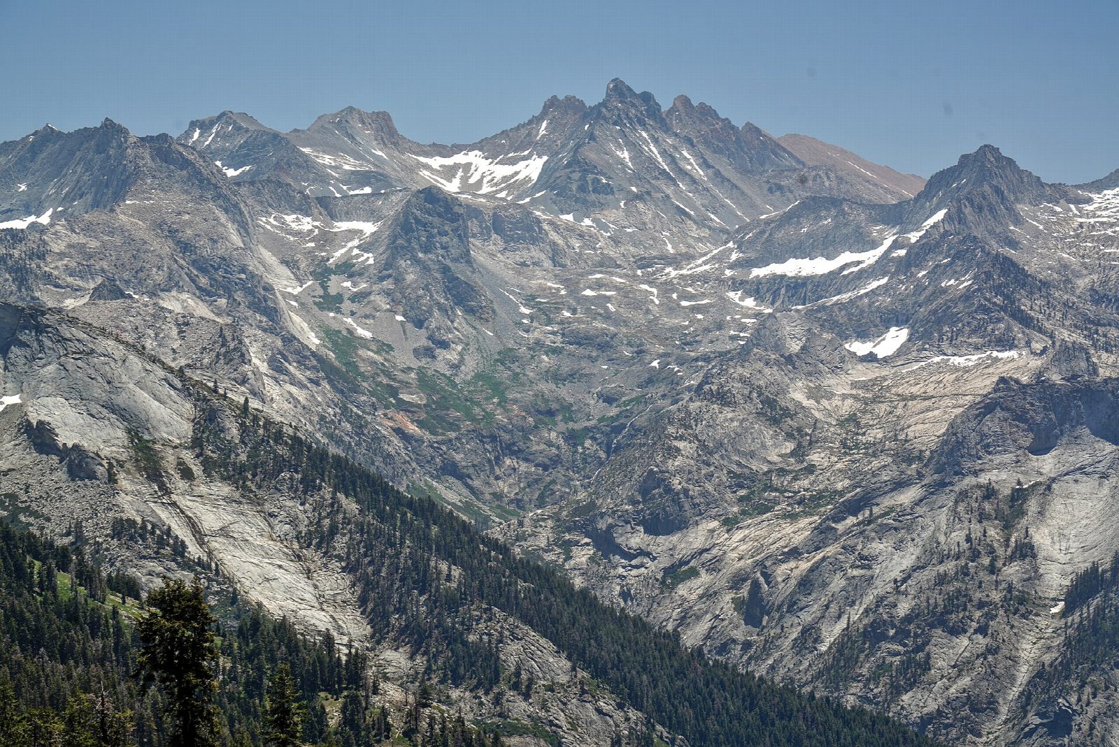
The walk starts at the Lakes Trailhead, at the Wolverton parking area. The Lakes Trail climbs through forest, passes the turning for Panther Gap, and soon divides. This route takes the Hump, the steeper branch, over a forested ridge. The other branch, the Watchtower, is cut into the cliff high above Tokopah Valley; it is a little longer, and the two meet again just before Heather Lake. The trail goes on across open granite above Aster Lake to Emerald Lake, a short way off to the right, and ends at Pear Lake. Return the same way.
It is 12.0 miles (19.3 km) round trip with 2,850 feet (870 m) of climbing; allow about 7 hours. The grade is Hard: a long day with a big climb, all above 7,000 feet.
The park calls the Watchtower branch extremely treacherous if there is any snow or ice on it: use the Hump both ways then. The lakes are above 9,000 feet, so take the climb slowly, and be off the open granite if a thunderstorm builds. Bears are often seen in Wolverton Meadow near the start: leave no food in the car.
No permit is needed for a day hike. Wolverton has parking and flush toilets. Wolverton Road stays open until snow makes it impassable, and the trail is under snow from late fall into early summer.
Route drawn by Global Adventurer along OpenStreetMap paths (© OpenStreetMap contributors, ODbL), with figures worked out from it. Check the forecast and the ground on the day: paths change.
Good to know
- Past Heather and Emerald Lakes to Pear Lake in a granite bowl
- Choose the Watchtower, a ledge above a sheer drop, or the steeper Hump trail
- No permit for a day hike; the Pear Lake hut is open to skiers in winter by reservation
Getting there
Start: Lakes Trailhead, Wolverton. 36.59655, -118.73424
Places to stay nearby
Rooms in and around Lakes Trailhead: Booking.com → Expedia →
Affiliate links: if you book, Global Adventurer earns a small commission at no cost to you.
Paths change, and the weather decides the day. The line and figures come from OpenStreetMap and our own checks; take a map, check the forecast, and turn back if it isn't right.