Line © OpenStreetMap contributors (ODbL), checked by Global Adventurer.
The hike
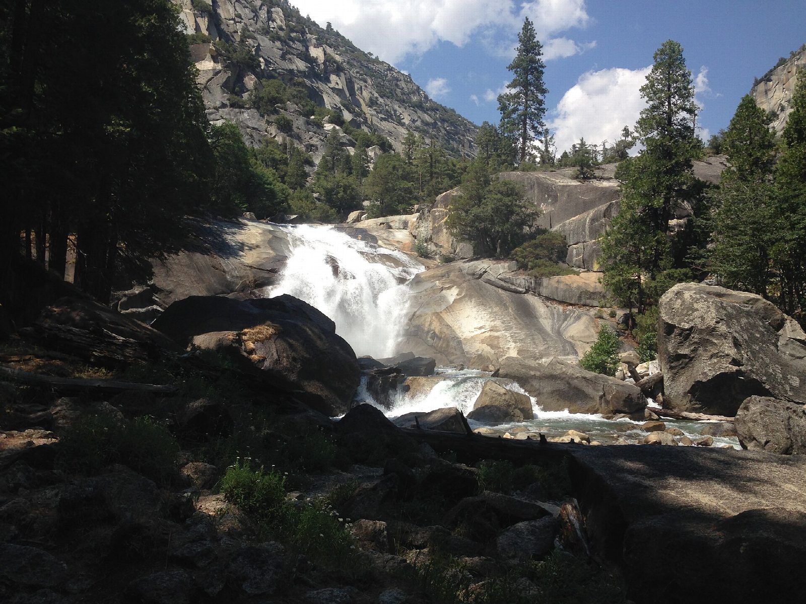
The walk starts at Roads End, where Highway 180 stops in the floor of Kings Canyon; the trailhead is just past the Road's End Permit Station. A sandy trail runs up the canyon through forest and chaparral, nearly level for the first couple of miles. Where the trail to Bubbs Creek goes off across the river, keep left on the Paradise Valley Trail, which follows the South Fork Kings River upstream. The last mile climbs about 600 feet beside rapids and cascades, with views back down the canyon, to Mist Falls. Return the same way.
It is 7.9 miles (12.7 km) round trip with 940 feet (285 m) of climbing; allow about 4 hours. The grade is Moderate: an easy trail for three miles, then a steady, rocky climb.
Drowning is the leading cause of death in these parks. The rocks beside the river are slippery and the current is strong: stay back from the water. The canyon is hot and dry in summer, and rattlesnakes are common. Bears are very active at Roads End: use the food lockers by the parking lot. No permit is needed for a day hike.
The road to Cedar Grove and Roads End is closed in winter. It usually opens in late April or May and closes in early to mid November. The falls are fullest in late spring and early summer.
Route drawn by Global Adventurer along OpenStreetMap paths (© OpenStreetMap contributors, ODbL), with figures worked out from it. Check the forecast and the ground on the day: paths change.
Good to know
- Up the glacier-carved canyon of the South Fork Kings River to a broad waterfall
- The road to Cedar Grove and Roads End is open only from spring to autumn
- The falls are biggest in late spring and early summer
Getting there
Start: Roads End · Free parking. 36.79457, -118.58331
Places to stay nearby
Rooms in and around Sequoia and Kings Canyon: Booking.com → Expedia →
Affiliate links: if you book, Global Adventurer earns a small commission at no cost to you.
Paths change, and the weather decides the day. The line and figures come from OpenStreetMap and our own checks; take a map, check the forecast, and turn back if it isn't right.