Line © OpenStreetMap contributors (ODbL), checked by Global Adventurer.
The hike
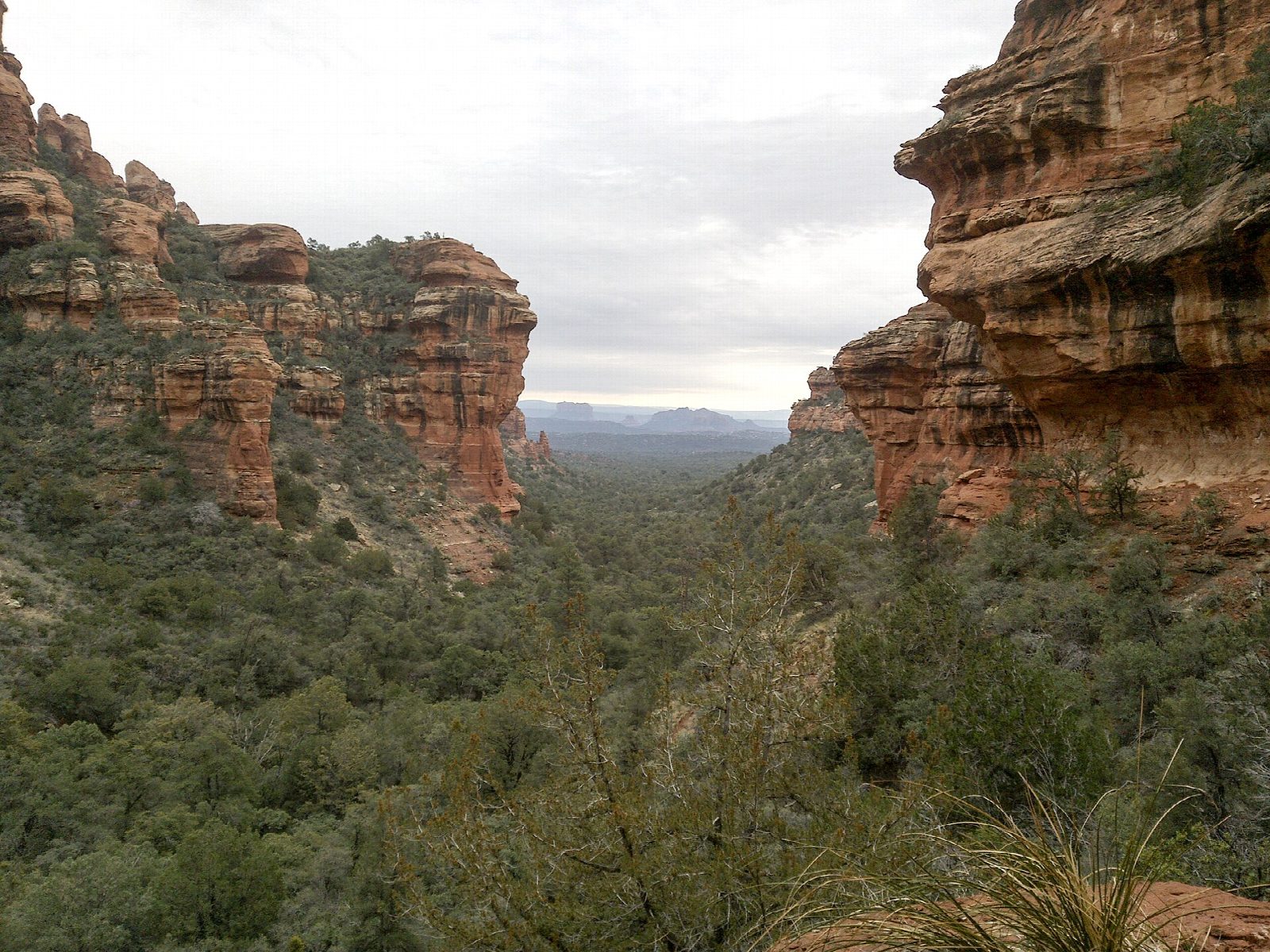
From the car park on Boynton Pass Road cross the road to the trailhead. The Fay Canyon Trail runs almost level up the canyon floor through oak and juniper, with red cliffs closing in on both sides. About half a mile in, a rough path on the right climbs steeply to Fay Canyon Arch, which stands so close to the wall behind it that it is easy to miss from below. Go up to it, come back down to the main trail and carry on to its end, under a cliff of red sandstone at the head of the canyon. Return the same way.
It is 2.4 miles (3.8 km) round trip with 230 feet (71 m) of climbing; allow about an hour. The grade is Easy: the canyon floor is gentle, and only the side path to the arch is steep and loose.
The Forest Service gives 2.1 miles for the main trail there and back; the arch adds about a quarter of a mile. The canyon lies in the Red Rock-Secret Mountain Wilderness. A Red Rock Pass or an America the Beautiful pass is needed to park. The car park takes about 28 cars. The trail can be hot and dry in summer, so carry water.
Route drawn by Global Adventurer along OpenStreetMap paths (© OpenStreetMap contributors, ODbL), with figures worked out from it. Check the forecast and the ground on the day: paths change.
Good to know
- An easy walk into a red-walled box canyon, shaded by oak and juniper
- A short, steep side path climbs to Fay Canyon Arch, so close to the cliff it's easy to miss
- In the Red Rock–Secret Mountain Wilderness; a Red Rock Pass is needed to park
Getting there
Start: Fay Canyon Trailhead. 34.90190, -111.85731
Places to stay nearby
Rooms in and around Sedona: Booking.com → Expedia →
Affiliate links: if you book, Global Adventurer earns a small commission at no cost to you.
Paths change, and the weather decides the day. The line and figures come from OpenStreetMap and our own checks; take a map, check the forecast, and turn back if it isn't right.
