Line © OpenStreetMap contributors (ODbL), checked by Global Adventurer.
The hike
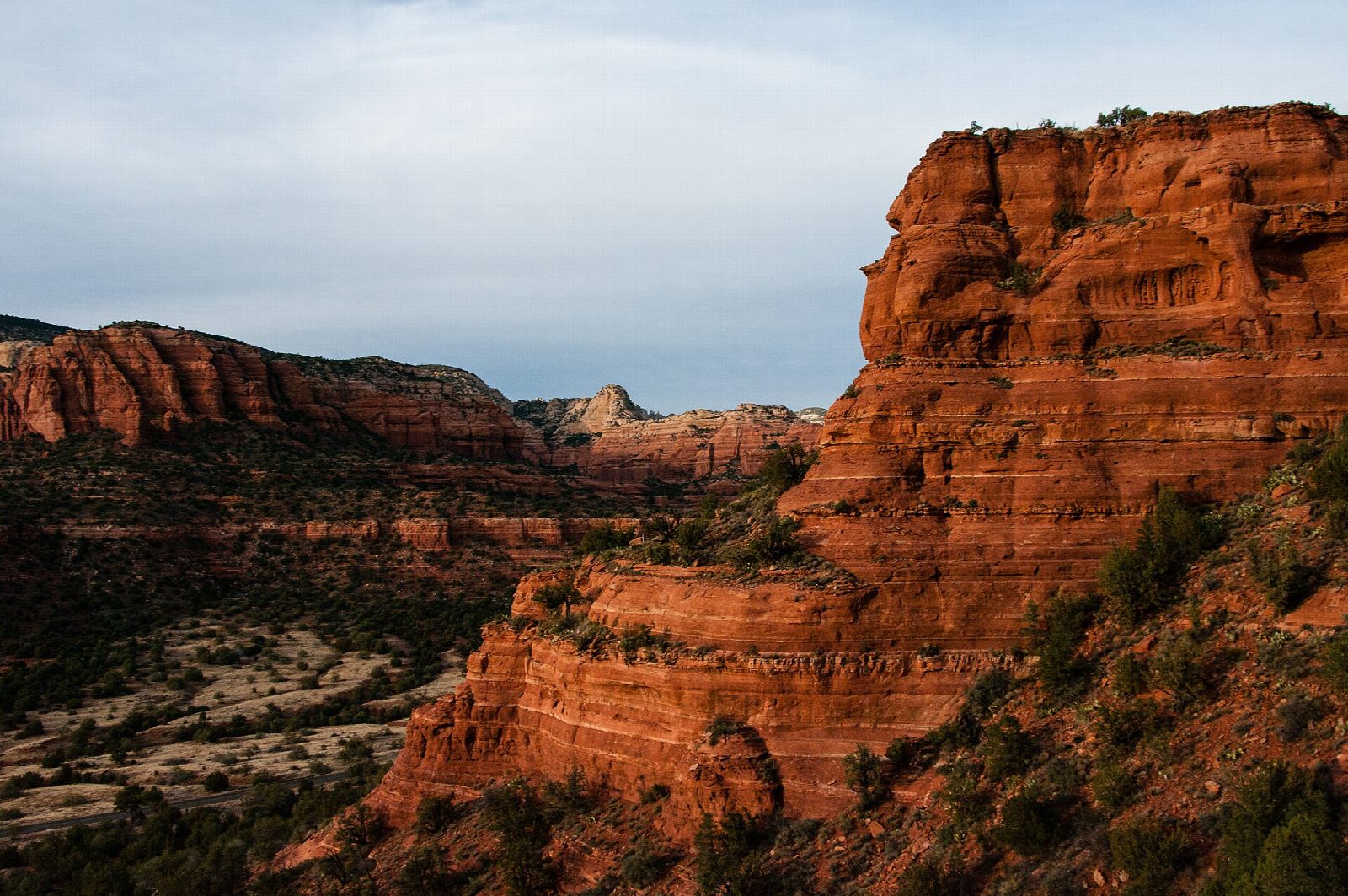
From the car park the Doe Mountain Trail crosses the Aerie Trail and switchbacks straight up the north side of the mesa to the top, 0.7 miles from the start. On the flat top a path leads round the edge. It looks out to Bear Mountain, to Boynton, Loy and Secret Canyons, Chimney Rock and the Cockscomb, with Sedona to the east and the Verde Valley to the south. Make the circuit of the rim, come back to the top of the switchbacks and go down the way you came.
It is 2.5 miles (4 km) for the climb and the circuit with 410 feet (126 m) of climbing; allow about 1½ hours. The grade is Easy: the climb is short and steady, and the top is flat.
The Forest Service gives 0.7 miles to the top and 1.3 miles round the edge, and says the mesa stands 400 feet above its base. The car park is shared with Bear Mountain and takes about 28 cars. A Red Rock Pass or an America the Beautiful pass is needed to park. There is no water, and no shade on top. It is a popular place at sunset, so bring a flashlight for the way down. The whole mesa is ringed by cliffs: keep back from the edge.
Route drawn by Global Adventurer along OpenStreetMap paths (© OpenStreetMap contributors, ODbL), with figures worked out from it. Check the forecast and the ground on the day: paths change.
Good to know
- Switchbacks up to a flat-topped mesa, with a path around its rim
- Views over Bear Mountain, Boynton Canyon and the Verde Valley
- Short and popular at sunset; the car park is shared with Bear Mountain
Getting there
Start: Doe Mountain Trailhead. 34.89327, -111.86497
Places to stay nearby
Rooms in and around Sedona: Booking.com → Expedia →
Affiliate links: if you book, Global Adventurer earns a small commission at no cost to you.
Paths change, and the weather decides the day. The line and figures come from OpenStreetMap and our own checks; take a map, check the forecast, and turn back if it isn't right.
