Line © OpenStreetMap contributors (ODbL), checked by Global Adventurer.
The hike
From the Mescal Trailhead on Long Canyon Road take the Mescal Trail for a quarter of a mile, then turn onto the Chuckwagon Trail, which winds through juniper and red rock for most of a mile to a short link to the Devil's Bridge Trail. Cross the dirt Dry Creek Road and follow the old jeep track uphill as it steepens. After about three quarters of a mile the trail divides: left to the foot of the arch, right up a steep natural staircase of rock to the top of it. Return the same way.
It is 3.9 miles (6.3 km) round trip with 480 feet (146 m) of climbing; allow about 2 hours. The grade is Easy: it is mostly gentle, with one short, steep climb up rock steps at the end.
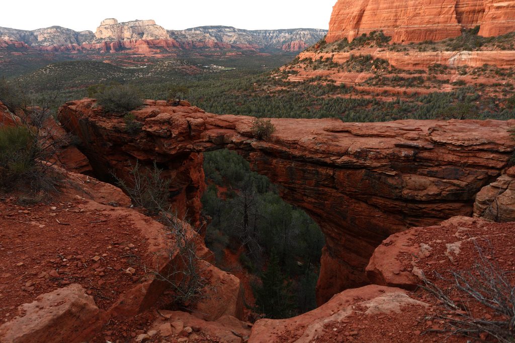
The Forest Service gives the arch a height of 50 feet. You can walk across it, but take care: it is a long way down. Queues form for photographs on busy days. Parking at Mescal is limited, especially at weekends; the free Sedona Shuttle serves this area from Thursday to Sunday. A Red Rock Pass or an America the Beautiful pass is needed to park. There is no water and little shade, and mountain bikes share the Mescal and Chuckwagon trails.
Route drawn by Global Adventurer along OpenStreetMap paths (© OpenStreetMap contributors, ODbL), with figures worked out from it. Check the forecast and the ground on the day: paths change.
Good to know
- The largest natural sandstone arch around Sedona, and you can walk across it
- By the Chuckwagon Trail, avoiding the dusty jeep road most people walk up
- Queues form for photos on the arch; a Red Rock Pass is needed to park
Getting there
Start: Mescal Trailhead. 34.90162, -111.82700
Places to stay nearby
Rooms in and around Sedona: Booking.com → Expedia →
Affiliate links: if you book, Global Adventurer earns a small commission at no cost to you.
Paths change, and the weather decides the day. The line and figures come from OpenStreetMap and our own checks; take a map, check the forecast, and turn back if it isn't right.