Line © OpenStreetMap contributors (ODbL), checked by Global Adventurer.
The hike
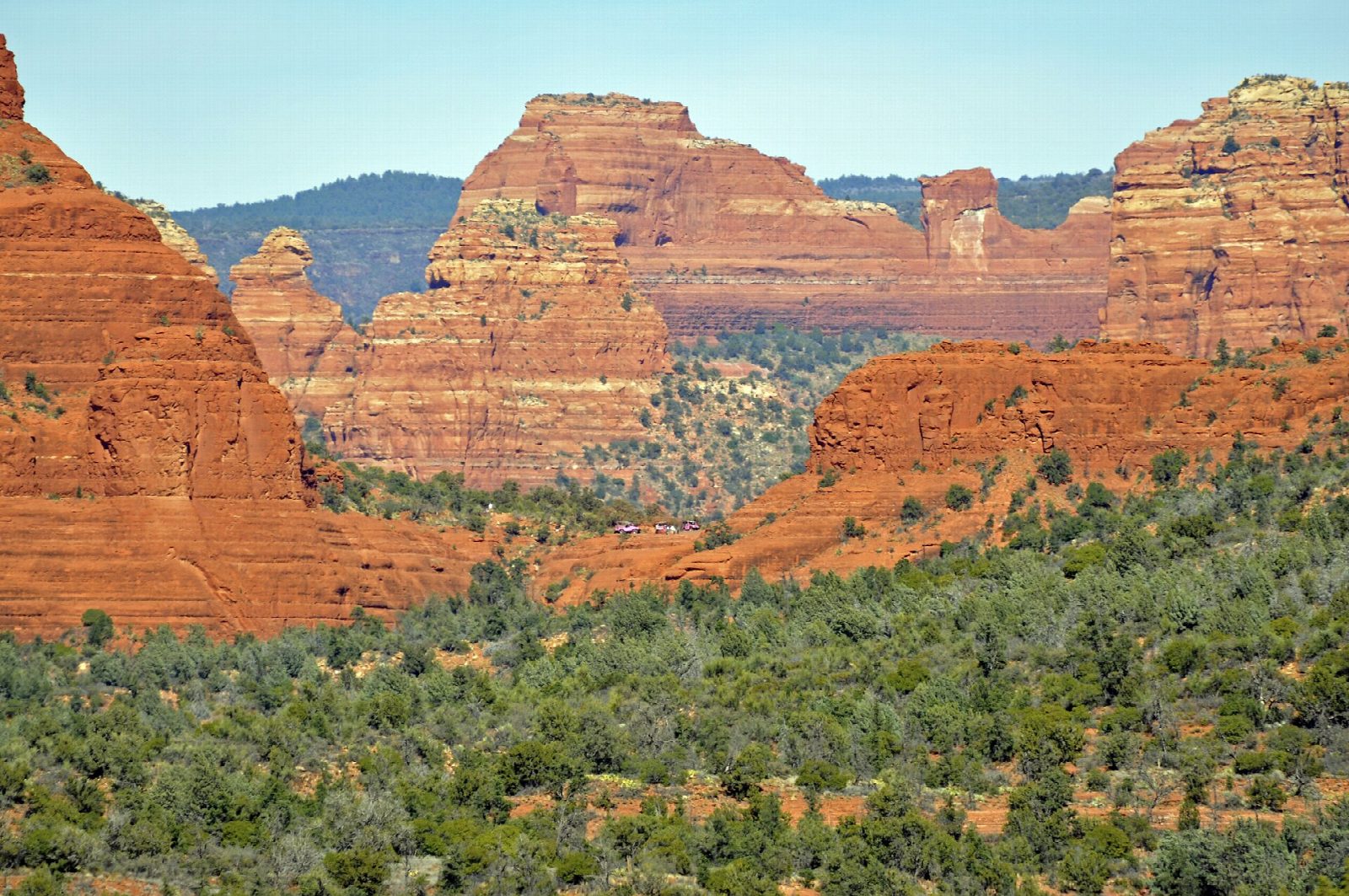
From the trailhead at the end of Morgan Road, signs direct you across the jeep road to the foot trail. After 200 feet it bears south and crosses a ledge at the foot of Battlement Mesa. The trail then climbs gently past red rock outcrops beside the Twin Buttes. Half a mile before the end a signed side path on the left leads to Submarine Rock. Keep on to the end of the trail at Chicken Point, a broad saddle of bare rock with views of Bell Rock and Courthouse Butte. Return the same way.
It is 2.9 miles (4.7 km) round trip with 380 feet (116 m) of climbing; allow about 1½ hours. The grade is Easy: it is short, on a good trail with little climbing.
The jeep tours for which Broken Arrow is known use the rough road alongside and meet the trail at Chicken Point: keep to the foot trail. Mountain bikers use the trail heavily, so watch for them. It is unshaded and hot in summer, and there is no water. The car park takes about 28 cars. With the side trip to Submarine Rock the walk is about 3.5 miles.
Route drawn by Global Adventurer along OpenStreetMap paths (© OpenStreetMap contributors, ODbL), with figures worked out from it. Check the forecast and the ground on the day: paths change.
Good to know
- Past Devil's Dining Room, a deep sinkhole, to the slickrock saddle of Chicken Point
- Views of the Twin Buttes, Bell Rock and Courthouse Butte
- Pink jeep tours use the Broken Arrow road alongside; keep to the foot trail
Getting there
Start: Broken Arrow Trailhead. 34.84545, -111.75676
Places to stay nearby
Rooms in and around Sedona: Booking.com → Expedia →
Affiliate links: if you book, Global Adventurer earns a small commission at no cost to you.
Paths change, and the weather decides the day. The line and figures come from OpenStreetMap and our own checks; take a map, check the forecast, and turn back if it isn't right.
