Line © OpenStreetMap contributors (ODbL), checked by Global Adventurer.
The hike
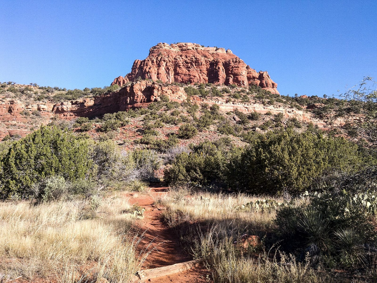
From the car park cross the road to the trailhead. A broad path crosses two washes and rises gently for a quarter of a mile to the wilderness boundary at the foot of the mountain. From there it is steep: rocky switchbacks climb 450 feet to a narrow shelf, a side canyon gives another 500 feet to a broad plateau, and a further 400 feet lead to a false summit, with Fay Canyon below on the right. A more moderate climb reaches the true summit. Return the same way.
It is 4.7 miles (7.5 km) round trip with 2,140 feet (651 m) of climbing; allow about 4½ hours. The grade is Hard: it is steep, rocky and almost without shade, and much of it is over tilted rock. The Forest Service allows five hours or more.
Follow the white painted diamonds where the trail fades on the rock. Start early and carry plenty of water, as there is none on the mountain. Do not attempt it when there is much snow on the mountain. A Red Rock Pass or an America the Beautiful pass is needed to park. From the top the view runs north to the San Francisco Peaks. If the whole climb is too much, there are many good places to turn back with a fine view.
Route drawn by Global Adventurer along OpenStreetMap paths (© OpenStreetMap contributors, ODbL), with figures worked out from it. Check the forecast and the ground on the day: paths change.
Good to know
- One of Sedona's toughest climbs, over a string of false summits to the top
- Some easy scrambling up ledges; follow the cairns carefully
- Little shade: start early and carry more water than you think you need
Getting there
Start: Bear Mountain Trailhead. 34.89327, -111.86497
Places to stay nearby
Rooms in and around Sedona: Booking.com → Expedia →
Affiliate links: if you book, Global Adventurer earns a small commission at no cost to you.
Paths change, and the weather decides the day. The line and figures come from OpenStreetMap and our own checks; take a map, check the forecast, and turn back if it isn't right.
