Line © OpenStreetMap contributors (ODbL), checked by Global Adventurer.
The walk
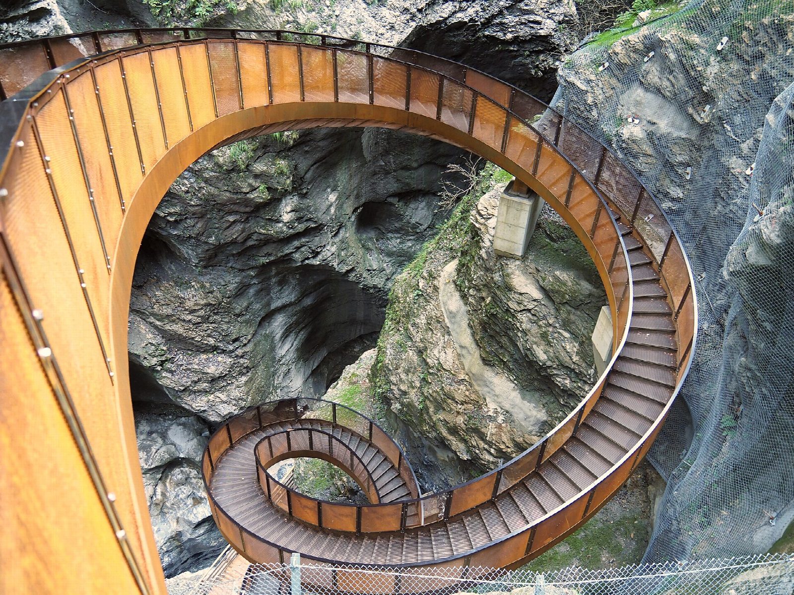
From car park P1, walk up to the entrance of the gorge by the inn. Beyond the ticket office, walkways and bridges fixed to the rock carry the path deep into the Liechtensteinklamm, cut by the Grossarler Ache through the rock. The walls rise steeply on both sides and in places almost meet overhead, and short tunnels lead from one section to the next. At the far end the Helix, a spiral staircase, takes you down about 30 m towards the water. Return the same way.
It is 2.3 km there and back with 65 m of ascent; allow about an hour. The grade is Easy: well-built walkways and steps, wet with spray in places.
The gorge is open daily from early May to 31 October (in October from 9:00 to 16:00) and closed in winter. There is an entrance fee. The walkways can be slippery, and the roar of the water is loud. It can be cold in the gorge even on hot days.
The gorge is about 4 km south of St. Johann im Pongau, which has a station on the Salzburg to Bischofshofen line.
Route drawn by Global Adventurer along OpenStreetMap paths (© OpenStreetMap contributors, ODbL), with figures worked out from it. Check the forecast and the ground on the day: paths change.
Good to know
- One of the longest and deepest gorges in the Alps, cut by the Grossarler Ache; walkways, bridges and tunnels lead through it
- At the end the Helix, a spiral staircase, goes down about 30 m towards the water
- Open daily from early May to 31 October (9:00 to 16:00 in October); there is an entrance fee
Getting there
Start: Liechtensteinklamm car park P1. 47.31694, 13.19199
Places to stay nearby
Rooms in and around Salzburg: Booking.com → Expedia →
Affiliate links: if you book, Global Adventurer earns a small commission at no cost to you.
Paths change, and the weather decides the day. The line and figures come from OpenStreetMap and our own checks; take a map, check the forecast, and turn back if it isn't right.