Line © OpenStreetMap contributors (ODbL), checked by Global Adventurer.
The walk
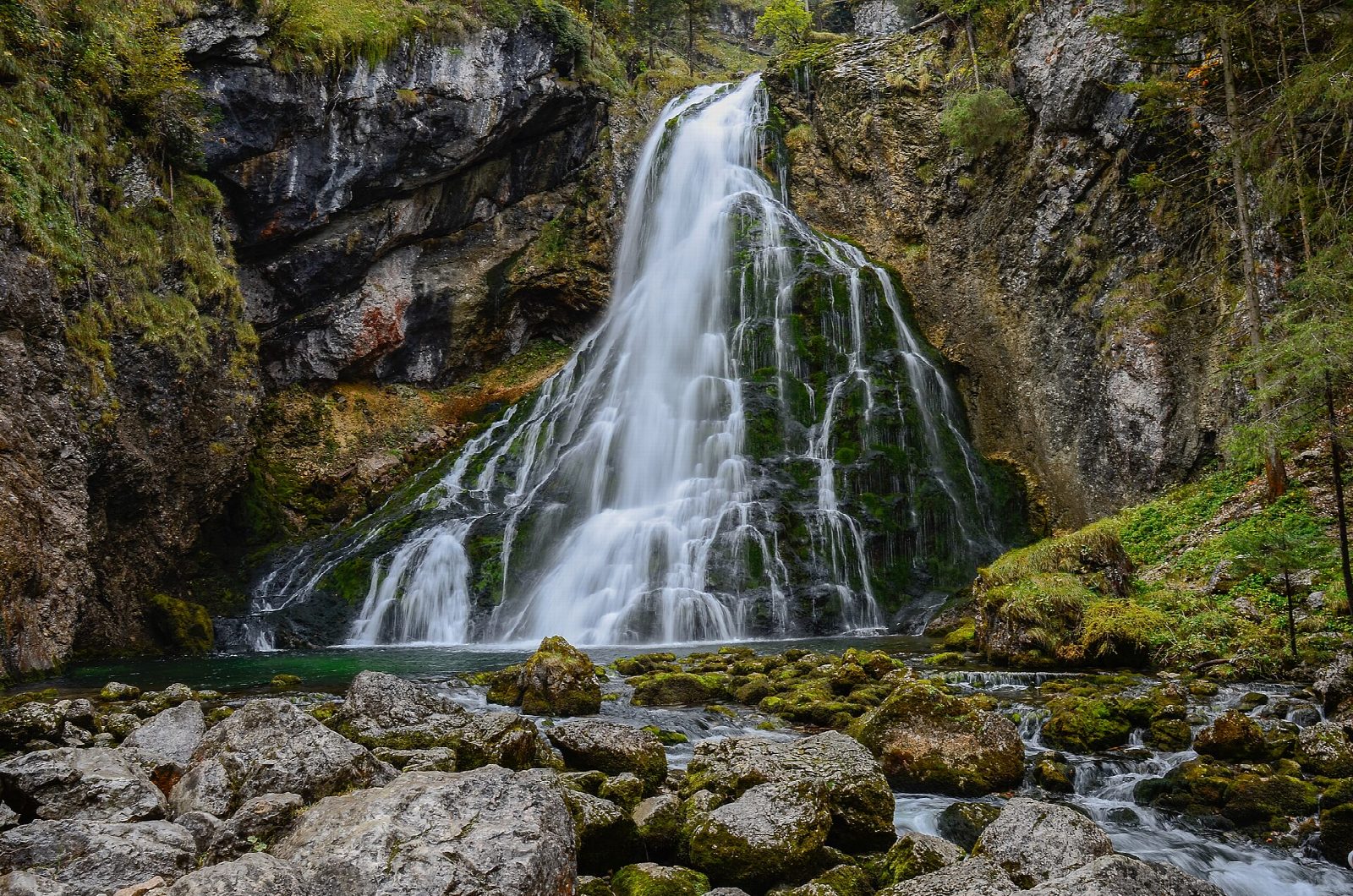
From car park P1 at Torren, walk past the inn to the foot of the Golling Waterfall, which leaps from a spring in the rock face and falls in two steps. A path climbs beside it, with bridges and viewpoints, to the upper fall. Back at the bottom, a track leads south along the foot of the mountains into the Bluntau valley, a nature reserve, to the Unterer and Oberer Bluntausee, two small green lakes under the cliffs. Return the same way to Torren.
It is 7.9 km there and back with 124 m of ascent; allow about 2½ hours. The grade is Easy: a steep path with steps at the waterfall, then a level valley track.
The waterfall path is charged and open from May to October. The spray makes the steps wet and slippery. The Bluntau is a nature reserve: keep to the tracks.
Torren is about 2 km from Golling station, on the Salzburg to Bischofshofen line. The car parks by the waterfall are charged.
Route drawn by Global Adventurer along OpenStreetMap paths (© OpenStreetMap contributors, ODbL), with figures worked out from it. Check the forecast and the ground on the day: paths change.
Good to know
- The Golling Waterfall leaps from a spring in the rock and falls in two steps; a path climbs beside it to the upper fall
- The waterfall path is charged and open from May to October
- The quiet Bluntau valley to the south, a nature reserve, holds two small lakes
Getting there
Start: Golling, Gollinger Wasserfall car park P1 · Pay and display. 47.60192, 13.14490
Places to stay nearby
Rooms in and around Golling: Booking.com → Expedia →
Affiliate links: if you book, Global Adventurer earns a small commission at no cost to you.
Paths change, and the weather decides the day. The line and figures come from OpenStreetMap and our own checks; take a map, check the forecast, and turn back if it isn't right.