Line © OpenStreetMap contributors (ODbL), checked by Global Adventurer.
The walk
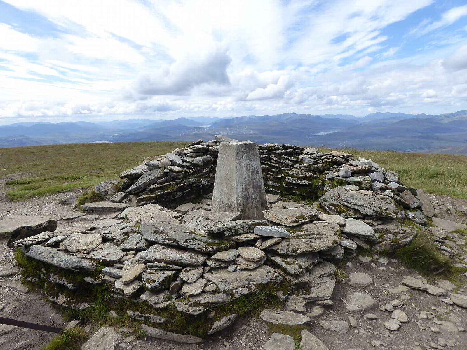
The walk starts from the Ben Wyvis car park at Garbat and goes out and back. The path climbs gently eastwards at first, then steeply onto An Cabar (946 m), and follows the long, mossy summit ridge, passing close to Carn a' Chaiptean (982 m), to the highest point, Glas Leathad Mòr (1,046 m). It is on path all the way, most of it rough mountain path.
It is 14.7 km with 945 m of ascent; allow about 7 hours. The grade is Hard: it is a long day, with a steep climb onto An Cabar.
The summit ridge is broad and exposed, and in mist it is easy to lose the line, so carry a map and compass, check the forecast and be prepared to turn back. The mountain is a National Nature Reserve; keep to the path to protect the moss on the ridge. It holds deep snow in winter. There are no mapped water sources on the route.
The car park is on the A835 at Garbat, north of Garve on the road towards Ullapool. Garve railway station is about 6 km away.
Route drawn by Global Adventurer along OpenStreetMap paths (© OpenStreetMap contributors, ODbL), with figures worked out from it. Check the forecast and the ground on the day: paths change.
Good to know
- A great whaleback with a long, mossy summit ridge
- The summit is Glas Leathad Mòr
- National Nature Reserve
Summits on the way
- An Cabar 946 m · passed close by
- Carn a' Chaiptean 982 m · passed close by
- Ben Wyvis - Glas Leathad Mor 1,046 m
Getting there
Start: Ben Wyvis car park, Garbat. 57.66579, -4.66687
Places to stay nearby
Rooms in and around Ben Wyvis car park: Booking.com → Expedia →
Affiliate links: if you book, Global Adventurer earns a small commission at no cost to you.
Paths change, and the weather decides the day. The line and figures come from OpenStreetMap and our own checks; take a map, check the forecast, and turn back if it isn't right.