Line © OpenStreetMap contributors (ODbL), checked by Global Adventurer.
The walk
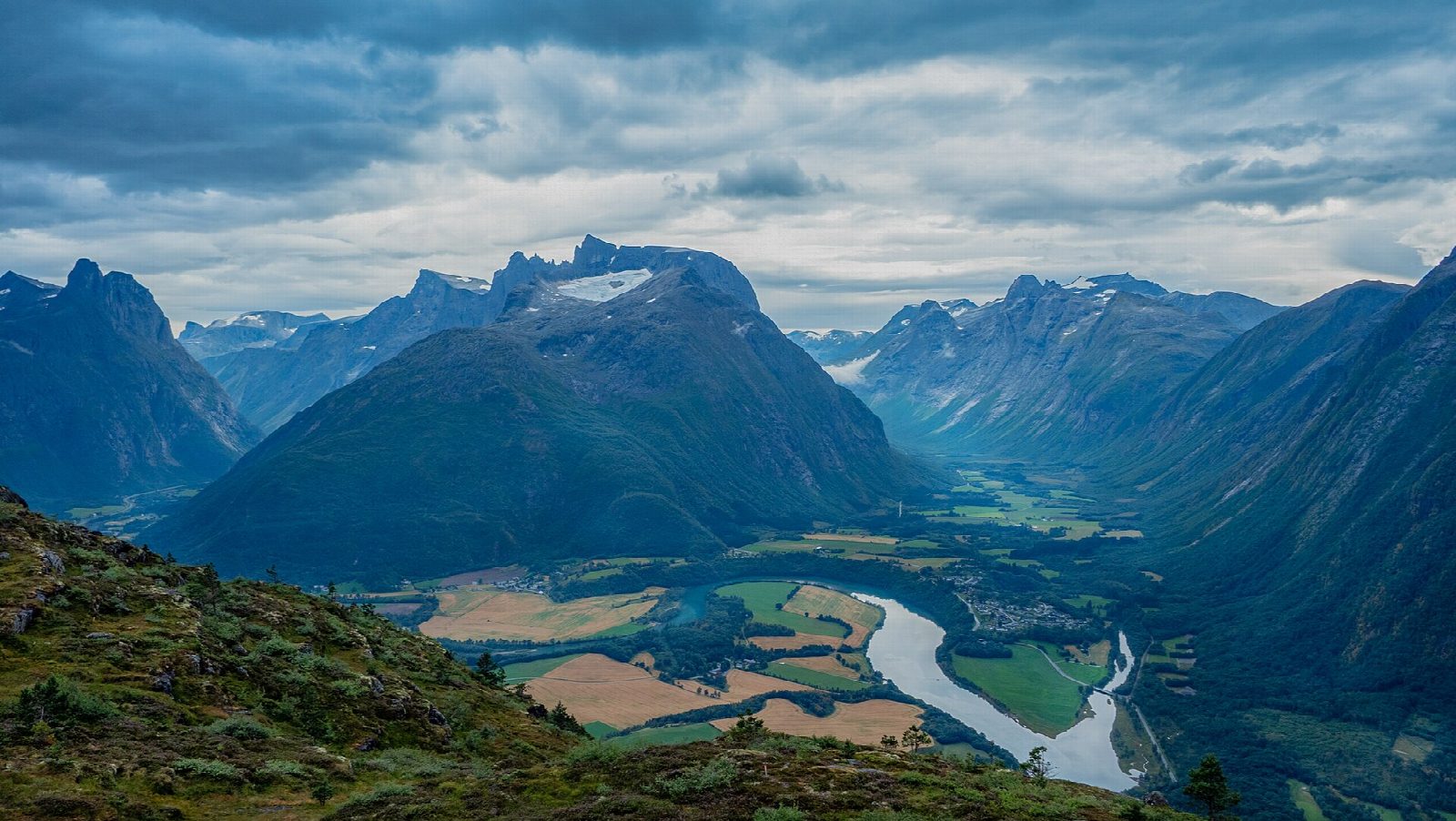
From the car park below Nebba, just off the road into Åndalsnes, the marked path climbs to the viewpoint at Nebba; this first part has a handrail and no steps. It passes a roofed shelter with a view up Romsdalen towards Trollstigen and follows the ridge, where handrails help over slippery roots, to a bench at Andersmyra. Steep stone stairs then climb round the crag to Rampestreken, a platform over the drop at 540 m, looking over Åndalsnes, the Romsdalsfjord and the mountains. Return the same way.
It is 3.6 km there and back with 515 m of ascent; allow about 3 hours. The grade is Hard: short, but steep all the way, much of it on stone steps.
DNT Romsdal gives the season as April to November and recommends good walking shoes or boots. It asks walkers to keep to the path and the handrails rather than spread out across the hillside. From Rampestreken the top of Nesaksla is 15 to 30 minutes further, on more stone steps.
The large car park is on the right 200 m after the roundabout as you drive into the centre. Åndalsnes station, with trains from Oslo and Trondheim, is about five minutes' walk from the start.
Route drawn by Global Adventurer along OpenStreetMap paths (© OpenStreetMap contributors, ODbL), with figures worked out from it. Check the forecast and the ground on the day: paths change.
Good to know
- Up the side of Nesaksla to Rampestreken, a viewing platform over Åndalsnes and the Romsdalsfjord at 540 m
- Steep stone stairs with handrails in places, and roots that are slippery when wet
- The top of Nesaksla is 15 to 30 minutes further
- Åndalsnes station is 340 m from the car park
Getting there
Start: Åndalsnes. 62.56464, 7.69142
By train: Åndalsnes station is 0.3 km from the start.
Places to stay nearby
Rooms in and around Åndalsnes: Booking.com → Expedia →
Affiliate links: if you book, Global Adventurer earns a small commission at no cost to you.
Paths change, and the weather decides the day. The line and figures come from OpenStreetMap and our own checks; take a map, check the forecast, and turn back if it isn't right.
