Line © OpenStreetMap contributors (ODbL), checked by Global Adventurer.
The hike
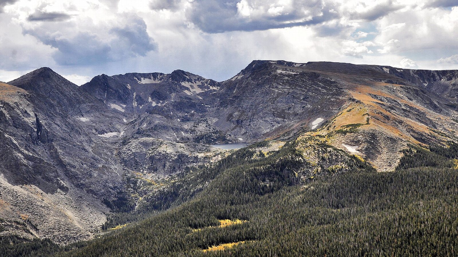
The walk starts at Milner Pass on Trail Ridge Road, beside Poudre Lake, where the road crosses the Continental Divide at about 10,760 feet; there is no shuttle. The trail climbs through forest and comes out above the trees about a mile up, then heads south along the broad tundra ridge of the Divide. The maintained trail ends about 3.5 miles in; beyond it, a rough route marked by cairns crosses rocks and boulders to the summit of Mount Ida, at 12,889 feet. Return the same way.
It is 9.4 miles (15.2 km) round trip with 2,240 feet (684 m) of climbing; allow about 5½ hours. The grade is Hard: long and high, with rough, rocky ground and some route-finding near the top.
Nearly all of the route is above treeline, with no shelter from wind or lightning. Thunderstorms are common on summer afternoons: start early, be off the summit before noon, and turn back if storms are building. Winter-like weather can arrive at any time of year. Trail Ridge Road, the only way to the start, closes for the winter from mid-October to late May. From May 22 to October 12, 2026, a timed entry reservation is needed to enter the park between 9 a.m. and 2 p.m.
Check the road before you set out on the park's recorded Trail Ridge Road line, (970) 586-1222.
Route drawn by Global Adventurer along OpenStreetMap paths (© OpenStreetMap contributors, ODbL), with figures worked out from it. Check the forecast and the ground on the day: paths change.
Good to know
- Starts on the Continental Divide at Milner Pass, beside Poudre Lake
- Most of the way is open tundra with no shelter from storms; the top is a rough path over rock
- Trail Ridge Road, the only way to the start, is open roughly from late May to mid-October
Summits on the way
- Mount Ida 12,881 ft (3,926 m)
Getting there
Start: Milner Pass Trailhead. 40.42018, -105.81178
Places to stay nearby
Rooms in and around Rocky Mountain National Park: Booking.com → Expedia →
Affiliate links: if you book, Global Adventurer earns a small commission at no cost to you.
Paths change, and the weather decides the day. The line and figures come from OpenStreetMap and our own checks; take a map, check the forecast, and turn back if it isn't right.


