Line © OpenStreetMap contributors (ODbL), checked by Global Adventurer.
The hike
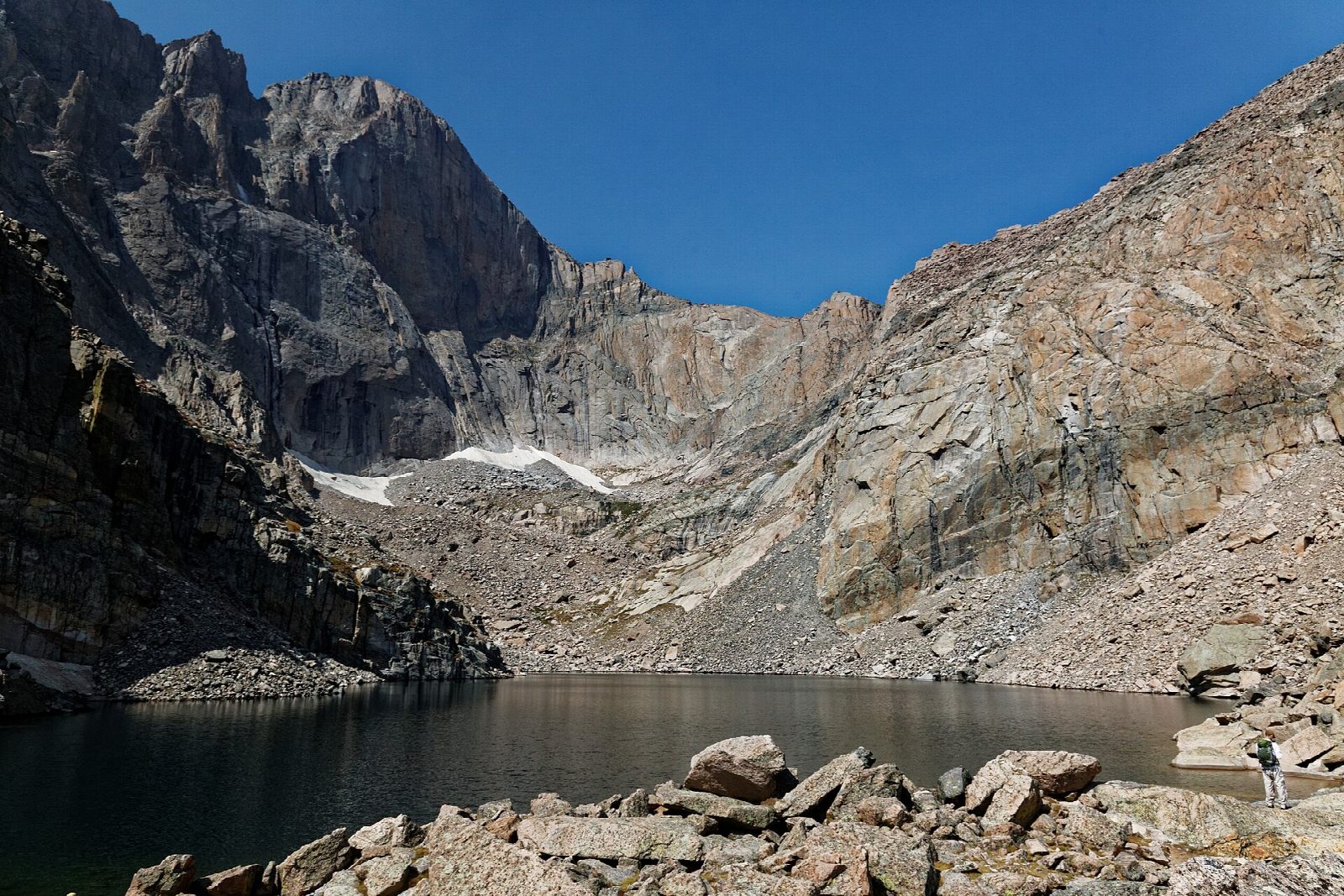
The walk starts at the Longs Peak Trailhead, off Colorado 7 south of Estes Park; there is no shuttle. The East Longs Peak Trail climbs through forest and above the trees to Chasm Junction, about 3.4 miles in, where the Chasm Lake trail branches off across a steep slope above Peacock Pool and Columbine Falls to Chasm Meadows. A short scramble up rock slabs leads to Chasm Lake, at the foot of the Diamond, the sheer east face of Longs Peak. Return the same way.
It is 8.3 miles (13.4 km) round trip with 2,360 feet (719 m) of climbing; allow about 5½ hours. The grade is Hard: a long, steady climb to about 11,800 feet, with a short scramble at the end.
Most of the walk is above the trees, with no shelter from storms. Thunderstorms are common on summer afternoons: start at dawn and aim to be back below treeline by noon. Snow can linger early in summer on Chasm Crossing, the slope before Chasm Meadows, and the slabs below the lake are often wet and, from autumn, icy. From May 22 to October 12, 2026, a timed entry reservation is needed to enter the park, Longs Peak included, between 9 a.m. and 2 p.m.
The trailhead lot is small and fills very early, especially on summer weekends.
Route drawn by Global Adventurer along OpenStreetMap paths (© OpenStreetMap contributors, ODbL), with figures worked out from it. Check the forecast and the ground on the day: paths change.
Good to know
- Chasm Lake lies beneath the Diamond, the sheer east face of Longs Peak
- A short scramble up rock slabs just below the lake, where snow can linger into July
- Mostly above the trees: set off at dawn, before summer storms bring lightning
Getting there
Start: Longs Peak Trailhead. 40.27199, -105.55662
Places to stay nearby
Rooms in and around Rocky Mountain National Park: Booking.com → Expedia →
Affiliate links: if you book, Global Adventurer earns a small commission at no cost to you.
Paths change, and the weather decides the day. The line and figures come from OpenStreetMap and our own checks; take a map, check the forecast, and turn back if it isn't right.


