Line © OpenStreetMap contributors (ODbL), checked by Global Adventurer.
The walk
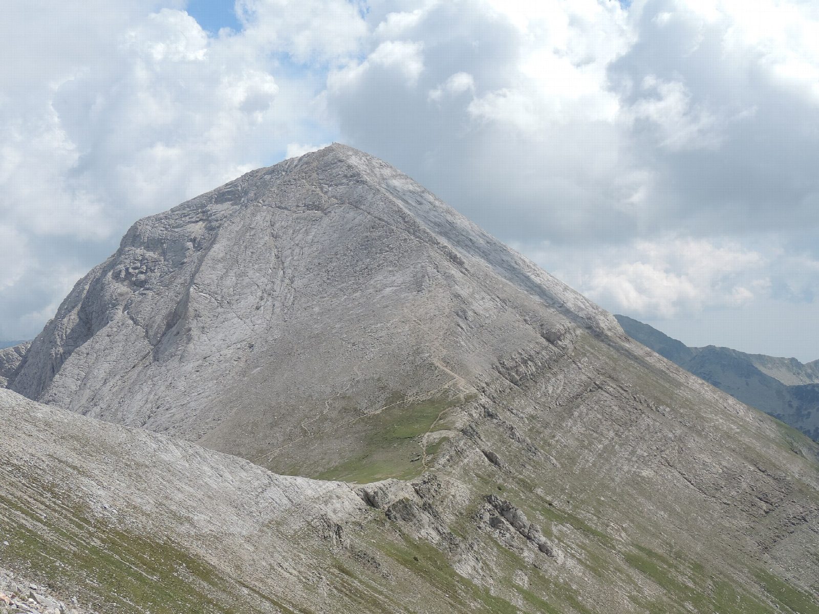
From the car park by Vihren Hut, the marked path climbs west over grassy slopes and then up the stony eastern flank of the mountain in long zigzags, with the deep cirques of the Kazanite below to the north. Near the top it reaches the summit ridge and follows it to the top of Vihren, 2,914 m, with views over the whole of the Pirin. Return the same way. The cabled Koncheto ridge is a different route and is not used.
It is 6.9 km there and back with 907 m of ascent; allow about 5½ hours. The grade is Hard: a steep, stony mountain path with loose rock near the top.
This is a summer route: snow lies on the upper slopes well into June and can return from October, and the path is then a winter mountaineering route. Start early, as storms often build over the summit in the afternoon. Until 1942 Vihren was called Eltepe, the peak of storms. Pirin National Park is on the UNESCO World Heritage list.
Vihren Hut is at the end of the road from Bansko, with a small car park beside it.
Route drawn by Global Adventurer along OpenStreetMap paths (© OpenStreetMap contributors, ODbL), with figures worked out from it. Check the forecast and the ground on the day: paths change.
Good to know
- Vihren, 2,914 m, is the highest summit of the Pirin and the second highest in Bulgaria
- The marked path climbs to the Kabata saddle and up the marble summit ridge; the cabled Koncheto ridge is a different route and is not used
- Pirin National Park is on the UNESCO World Heritage list
- Until 1942 it was called Eltepe, the peak of storms; below its north wall lies Snezhnika, the southernmost patch of glacier ice in Europe
Summits on the way
- Vihren 2,914 m
Getting there
Start: Vihren Hut, above Bansko. 41.75660, 23.41630
Places to stay nearby
Rooms in and around Vihren Hut: Booking.com → Expedia →
Affiliate links: if you book, Global Adventurer earns a small commission at no cost to you.
Paths change, and the weather decides the day. The line and figures come from OpenStreetMap and our own checks; take a map, check the forecast, and turn back if it isn't right.