Line © OpenStreetMap contributors (ODbL), checked by Global Adventurer.
The walk
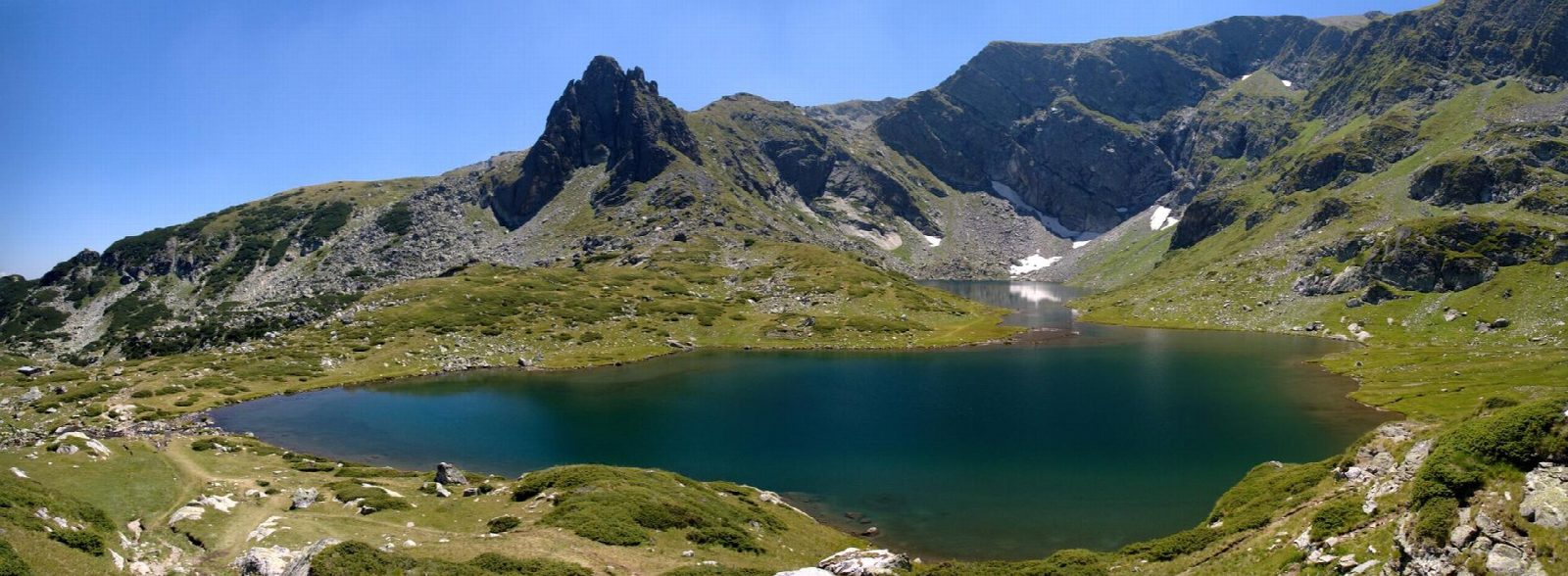
From Rila Lakes Hut, near the top of the chairlift, the path climbs south past the Lower Lake and the Fish Lake, where a second hut stands on the shore, then on up beside the Trefoil, the Twin and the Kidney, each in its own rocky step of the cirque. A steeper path climbs past the Eye, the deepest of them, to the ridge above the Tear, the highest lake, where all seven can be seen at once. The way back follows the ridge east towards Haramiyata and drops down the east side of the cirque to the hut.
It is 9 km round with 572 m of ascent; allow about 4 hours. The grade is Hard: rocky mountain paths, steep in places, between about 2,100 and 2,500 m.
The lakes usually freeze in October and stay frozen until June; July and August are the usual months to walk here, when sudden storms are less likely. Fog comes down quickly on the ridge. The Eye, 37.5 m deep, is the deepest cirque lake in Bulgaria; the Twin is the largest of the seven.
Drive to the lower chairlift station above Sapareva Banya and ride up to the hut; check the chairlift is running, as it keeps a summer season. Walking up from the lower station adds a steep climb of about 400 m.
Route drawn by Global Adventurer along OpenStreetMap paths (© OpenStreetMap contributors, ODbL), with figures worked out from it. Check the forecast and the ground on the day: paths change.
Good to know
- Seven glacial lakes lie one above another in a cirque of north-west Rila, between about 2,100 and 2,500 m
- Each has a name from its shape or nature: the Tear, the Eye, the Kidney, the Twin, the Trefoil, the Fish Lake and the Lower Lake
- From the ridge above the Tear all seven can be seen at once
- The lakes usually freeze in October and do not thaw before June
Summits on the way
- Ezeren Peak 2,559 m · passed close by
Getting there
Start: Rila Lakes Hut (Hizha Rilski ezera). 42.21984, 23.32169
Places to stay nearby
Rooms in and around Rila and Pirin: Booking.com → Expedia →
Affiliate links: if you book, Global Adventurer earns a small commission at no cost to you.
Paths change, and the weather decides the day. The line and figures come from OpenStreetMap and our own checks; take a map, check the forecast, and turn back if it isn't right.