Line © OpenStreetMap contributors (ODbL), checked by Global Adventurer.
The walk
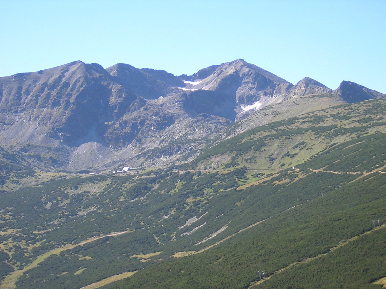
From the upper gondola station at Yastrebets, follow the broad track south over open slopes to Musala Hut, beside the lowest of the Musala lakes. The path climbs on past the higher lakes to the shelter by Ledenoto ezero, the Icy Lake, then up a stony zigzag path to the summit of Musala, 2,925 m, with its weather station. Return the same way.
It is 13.5 km there and back with 605 m of ascent; allow about 5 hours. The grade is Moderate: a good track to the hut, then a rough, steep mountain path.
Musala is the highest summit in Bulgaria and in the whole Balkan peninsula. The weather on top changes fast, and snow and ice can lie near the summit from October into June. The walk relies on the gondola from Borovets, which runs in the summer season and for winter skiing but not in between; without it, add a long climb from the resort.
Park in Borovets by the lower station of the Yastrebets gondola.
Route drawn by Global Adventurer along OpenStreetMap paths (© OpenStreetMap contributors, ODbL), with figures worked out from it. Check the forecast and the ground on the day: paths change.
Good to know
- Musala, 2,925 m, is the highest summit in Bulgaria and in the whole Balkan peninsula
- The path passes Musala hut by the Musala lakes and a shelter by Ledenoto ezero, the Icy Lake, below the summit
- A weather station stands on the summit
- The gondola from Borovets saves about 1,000 m of climbing
Summits on the way
- Yastrebets 2,369 m · passed close by
- Musala 2,926 m
Getting there
Start: Yastrebets, top of the Borovets gondola. 42.22704, 23.58087
Places to stay nearby
Rooms in and around Yastrebets: Booking.com → Expedia →
Affiliate links: if you book, Global Adventurer earns a small commission at no cost to you.
Paths change, and the weather decides the day. The line and figures come from OpenStreetMap and our own checks; take a map, check the forecast, and turn back if it isn't right.