Line © OpenStreetMap contributors (ODbL), checked by Global Adventurer.
The walk
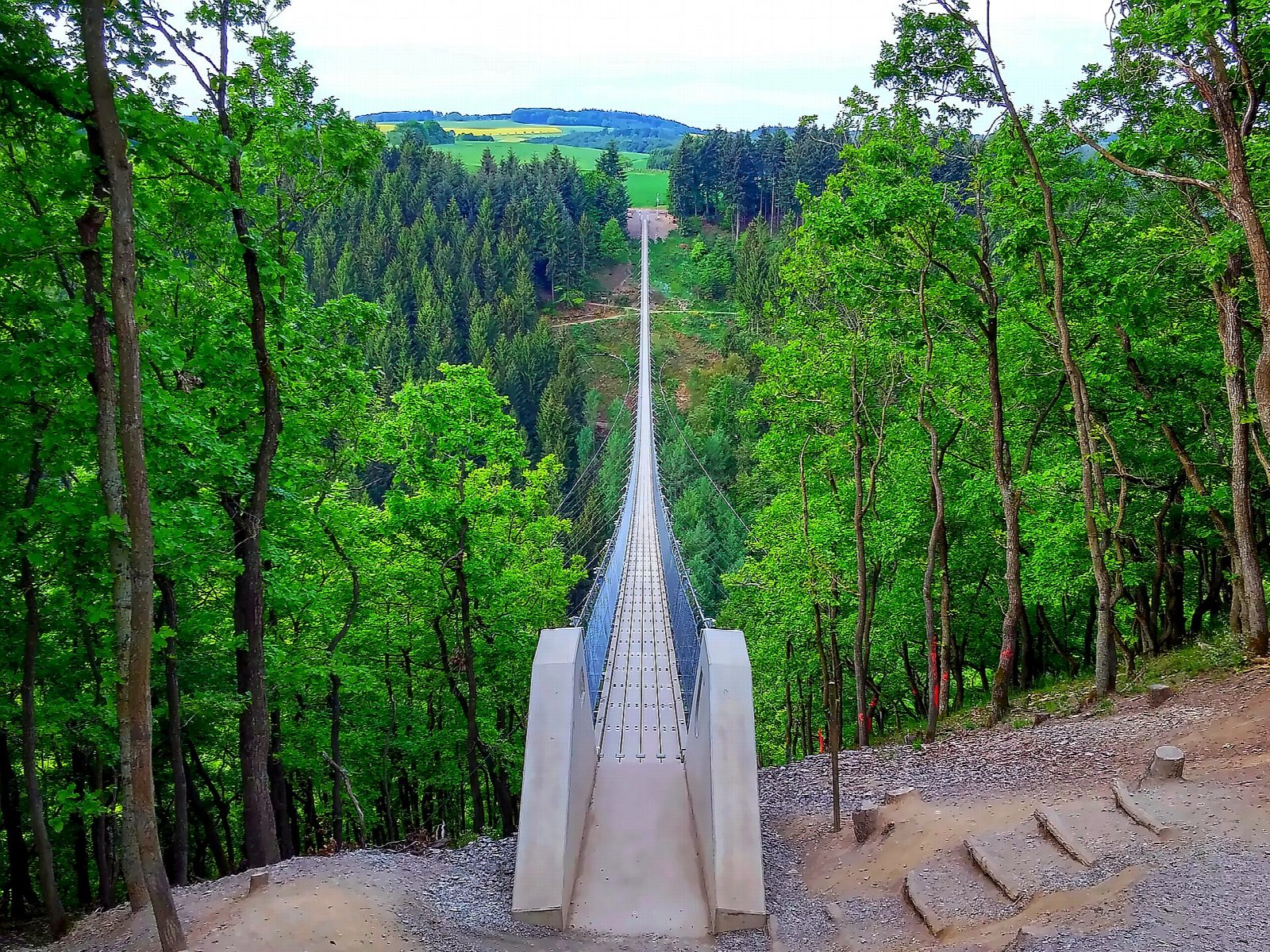
The walk starts from the visitor centre car park in Mörsdorf, in the Hunsrück hills above the Moselle. Farm tracks lead south for nearly 2 km to the Geierlay, a rope bridge 360 m long and almost 100 m above the valley floor. The line crosses the bridge, then takes a woodland path down into the valley of the Mörsdorfer Bach, follows the stream back under the bridge, and climbs steeply out to the village.
It is 6 km with 165 m of ascent; allow about 2 hours. The grade is Easy, but the path down to the stream and the climb back are steep, narrow and slippery when wet.
The bridge opened in October 2015. It is free and open at all hours, and may be crossed in either direction. Its deck narrows to 85 cm in the middle and sways, so it needs a head for heights; pushchairs are not allowed and dogs must be on a lead. It is closed in strong wind, thunderstorms, ice and snow, and the valley path should be left alone in ice, snow or after heavy rain.
Parking is the cost: €15 for the first five hours in 2026. Buses run to Mörsdorf from Kastellaun and from Treis-Karden, which is on the Moselle railway.
Route drawn by Global Adventurer along OpenStreetMap paths (© OpenStreetMap contributors, ODbL), with figures worked out from it. Check the forecast and the ground on the day: paths change.
Good to know
- The Geierlay is a rope bridge 360 m long and nearly 100 m above the Mörsdorfer Bach, opened in October 2015
- The bridge is free and open all year; it is closed in storms, ice and snow
- Back by the valley under the bridge and a steep climb to the village
- The car parks in Mörsdorf are charged
Getting there
Start: Geierlay visitor centre car park, Mörsdorf · Pay and display. 50.10399, 7.34800
Places to stay nearby
Rooms in and around Geierlay visitor centre car park: Booking.com → Expedia →
Affiliate links: if you book, Global Adventurer earns a small commission at no cost to you.
Paths change, and the weather decides the day. The line and figures come from OpenStreetMap and our own checks; take a map, check the forecast, and turn back if it isn't right.

