Line © OpenStreetMap contributors (ODbL), checked by Global Adventurer.
The walk
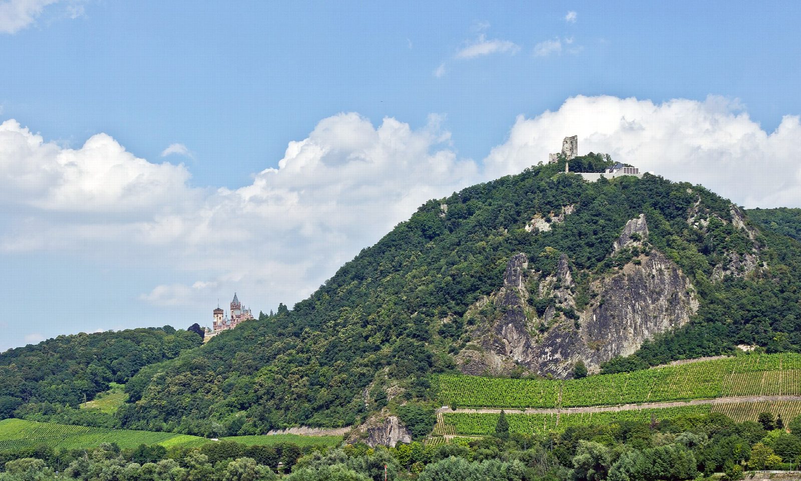
The walk starts at Königswinter station, on the right bank of the Rhine south of Bonn. It leaves the town by the Nachtigallental, a narrow wooded valley, climbs to the Milchhäuschen, a forest inn, and turns back along the hillside to the plateau of the Drachenfels, at 321 m, with its terrace above the Rhine and the ruin of a 12th-century castle on the rock. The way down is the Eselsweg, the old donkey path, past Schloss Drachenburg and the Nibelungenhalle to the old town and the station.
It is 7.4 km with 268 m of ascent; allow about 2½ hours. The grade is Easy: steep in places, but on surfaced paths and forest tracks all the way.
The view from the top runs up the Rhine to the Eifel and down it to Bonn and Cologne. The castle was pulled down in 1634. Schloss Drachenburg, halfway down, is a mansion of the 1880s that can be visited for a fee.
There is nothing to pay for the walk or the ruin. The Eselsweg has twice been closed for years by rockfall, most recently until November 2019; no closure was posted at the start of October 2026. Germany's oldest rack railway, of 1883, runs from Königswinter to the top. The Siebengebirge is a nature reserve: keep to the marked paths.
Route drawn by Global Adventurer along OpenStreetMap paths (© OpenStreetMap contributors, ODbL), with figures worked out from it. Check the forecast and the ground on the day: paths change.
Good to know
- The Drachenfels, 321 m, has a castle ruin of the 12th century and a view up and down the Rhine
- Up through the wooded Nachtigallental, down by the Eselsweg past Schloss Drachenburg
- Germany's oldest rack railway, of 1883, runs from Königswinter to the top
- The Siebengebirge is a nature reserve: keep to the marked paths
Summits on the way
- Drachenfels 321 m
Getting there
Start: Königswinter station. 50.67883, 7.19334
By train: Königswinter station is 0.0 km from the start.
Places to stay nearby
Rooms in and around Königswinter: Booking.com → Expedia →
Affiliate links: if you book, Global Adventurer earns a small commission at no cost to you.
Paths change, and the weather decides the day. The line and figures come from OpenStreetMap and our own checks; take a map, check the forecast, and turn back if it isn't right.
