Line © OpenStreetMap contributors (ODbL), checked by Global Adventurer.
The walk
The walk starts at Moselkern station, on the railway between Koblenz and Trier. It goes through the village and up a lane beside the Elzbach to the Ringelsteiner Mühle, an old mill that is now an inn, where the tarmac ends. A forest path follows the stream on up the narrow valley, stony and rooty in places, until the castle appears above the trees; steps and a bridge lead up to its gate. Return the same way.
It is 10 km there and back with 132 m of ascent; allow about 3 hours. The grade is Easy. The first 2.5 km are on a lane; beyond the mill it is a woodland path.
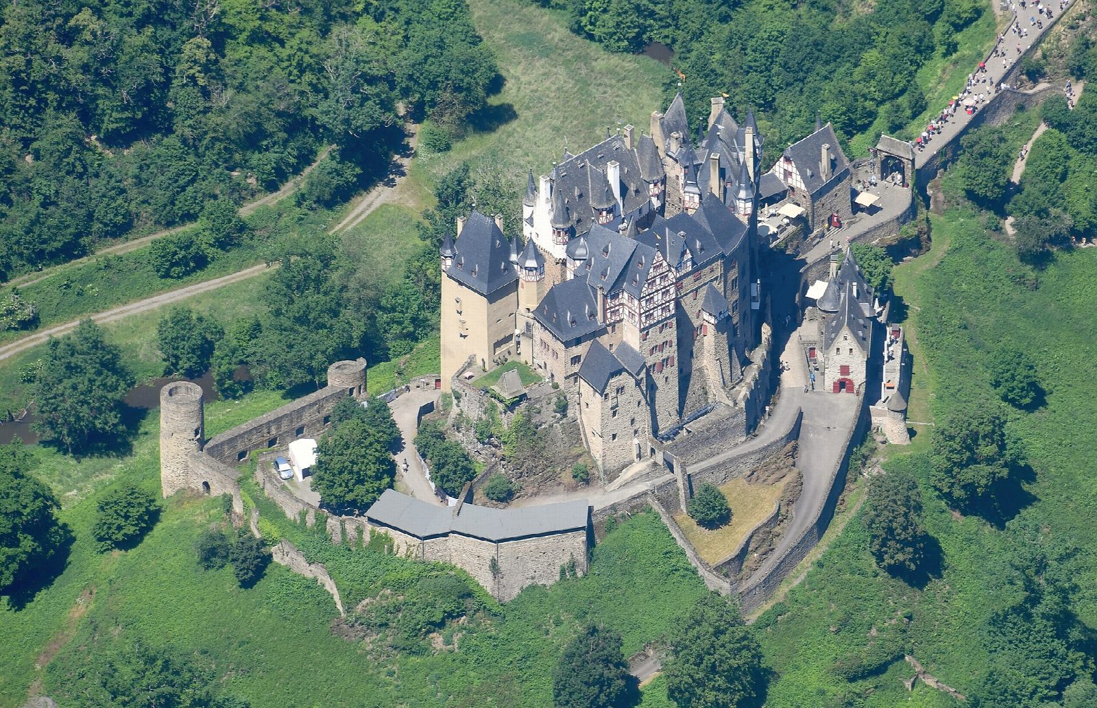
Burg Eltz, first recorded in 1157, stands on a rock with the Elzbach on three sides. It was never taken by force and is still owned by the family that built it. Coming on foot from the Moselle is the old way in, and you see nothing of the castle until you are almost under it.
The valley path is free and open all year, but the castle is open only from late March to the start of November: in 2026 from 29 March to 1 November, 9.30 am to 5.30 pm, at €14 for adults. In winter you can still walk to the castle and look at it from outside.
Route drawn by Global Adventurer along OpenStreetMap paths (© OpenStreetMap contributors, ODbL), with figures worked out from it. Check the forecast and the ground on the day: paths change.
Good to know
- Burg Eltz, first recorded in 1157, stands on a rock with the Elzbach on three sides and was never taken by force
- It is still owned by the family that built it
- The castle is open from late March to the start of November; there is an entrance fee
- Moselkern is on the Koblenz to Trier railway
Getting there
Start: Moselkern station. 50.19556, 7.37197
By train: Moselkern station is 0.0 km from the start.
Places to stay nearby
Rooms in and around Moselkern: Booking.com → Expedia →
Affiliate links: if you book, Global Adventurer earns a small commission at no cost to you.
Paths change, and the weather decides the day. The line and figures come from OpenStreetMap and our own checks; take a map, check the forecast, and turn back if it isn't right.