Line © OpenStreetMap contributors (ODbL), checked by Global Adventurer.
The walk
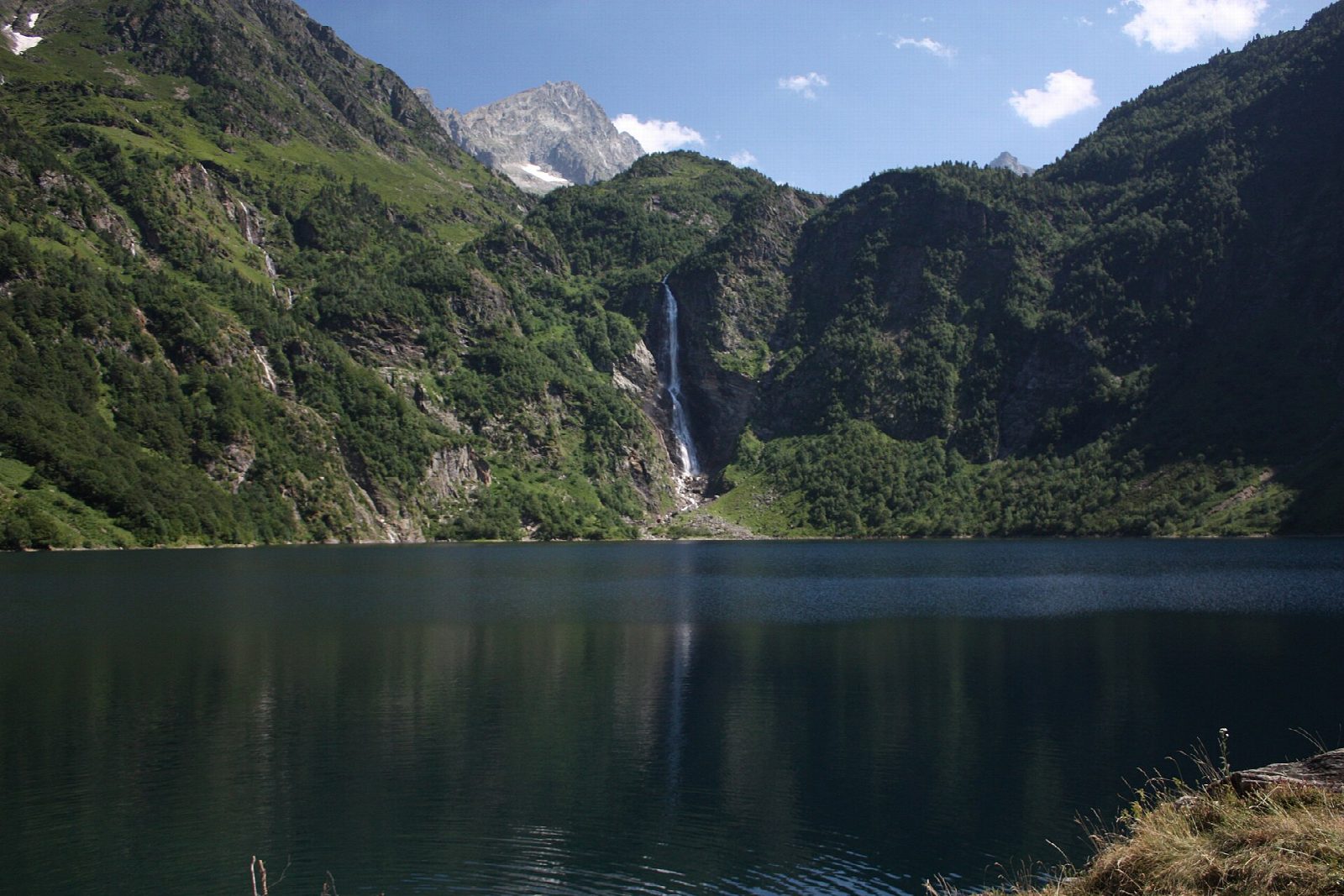
From the car park at the Granges d'Astau, at the end of the road from Oô above Luchon, a broad path climbs south through woods and meadows in easy zigzags. It comes out at the dam of Lac d'Oô, at about 1,500 m, where the refuge stands on the north shore and a waterfall pours down the cliff at the far end of the lake from the lakes above. Return the same way.
It is 6.8 km there and back with 360 m of ascent; allow about 3 hours. The grade is Easy: a wide, well-made path with a steady climb.
This is one of the busiest walks in the Luchon area in summer; go early or late in the day for a quieter path. The refuge serves food in its season. The ground beyond the lake, towards Espingo and the high lakes, is rougher and higher, and snow can lie there into early summer.
The car park at the Granges d'Astau is at the end of the road up the Oueil-Larboust valley from Luchon; it can be full on summer days.
Route drawn by Global Adventurer along OpenStreetMap paths (© OpenStreetMap contributors, ODbL), with figures worked out from it. Check the forecast and the ground on the day: paths change.
Good to know
- Lac d'Oô, at about 1,500 m, lies under a tall waterfall that pours down the cliff from the lakes above
- The path climbs from the Granges d'Astau through woods and meadows to the refuge on the lake's north shore
Getting there
Start: Granges d'Astau car park. 42.76418, 0.50165
Places to stay nearby
Rooms in and around Luchon: Booking.com → Expedia →
Affiliate links: if you book, Global Adventurer earns a small commission at no cost to you.
Paths change, and the weather decides the day. The line and figures come from OpenStreetMap and our own checks; take a map, check the forecast, and turn back if it isn't right.