Line © OpenStreetMap contributors (ODbL), checked by Global Adventurer.
The walk
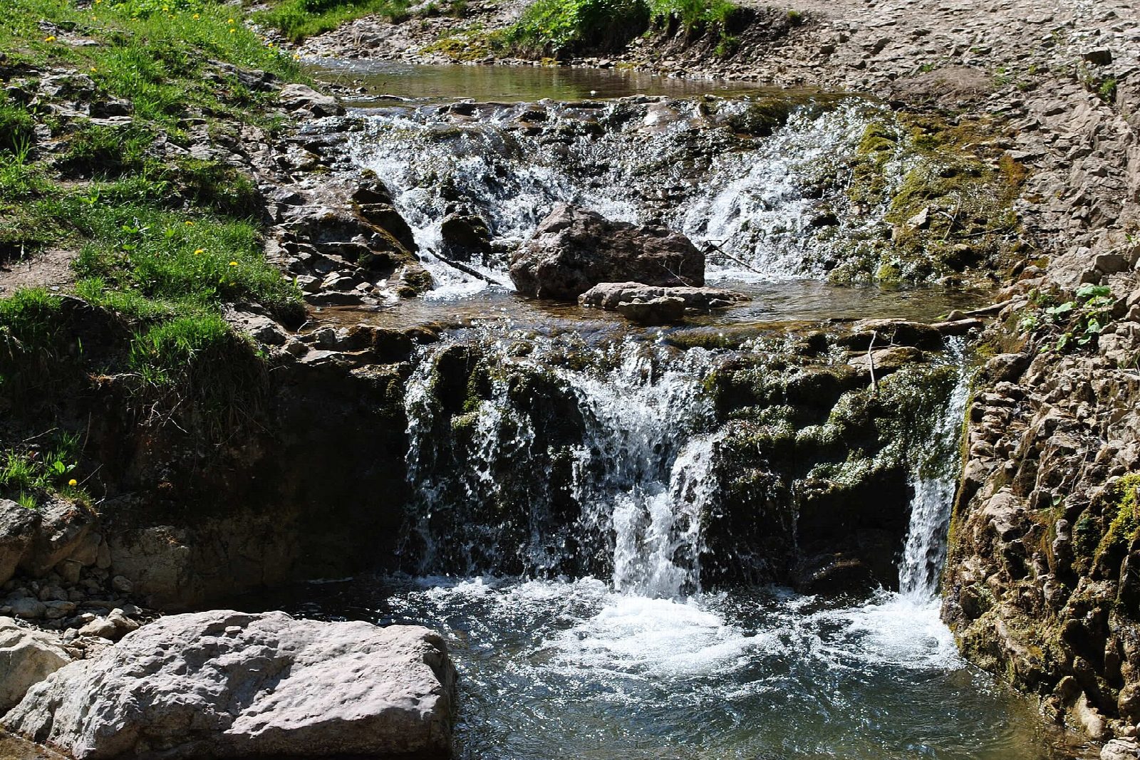
From the Homole car park in Jaworki, follow the green path into Wąwóz Homole, a narrow limestone gorge on the Kamionka stream with walls up to 120 m high, climbing beside its cascades on footbridges and steps. Above the gorge the path leaves the reserve and climbs through open meadows, then the blue path leads through the forest to the rocky top of Wysoka, 1,050 m, the highest summit of the Pieniny, on the Slovak border. Return the same way.
It is 7.6 km there and back with 458 m of ascent; allow about 3½ hours. The grade is Moderate: a steady climb on good paths, steep in places, with no exposure; the footbridges and steps in the gorge are narrow.
Entry to the reserve is free, and dogs are not allowed in it. In winter the footbridges, steps and stony sections can be icy. The top of Wysoka is small and rocky.
The car park at the mouth of the gorge charges.
Route drawn by Global Adventurer along OpenStreetMap paths (© OpenStreetMap contributors, ODbL), with figures worked out from it. Check the forecast and the ground on the day: paths change.
Good to know
- A limestone gorge on the Kamionka stream, with walls up to 120 m high, crossed by footbridges and steps
- Wysoka, 1,050 m, is the highest top of the Pieniny, on the Slovak border
- Entry to the reserve is free; dogs are not allowed
- The Wysoka summit lies in the Wysokie Skałki reserve
Summits on the way
- Vysoké Skalky / Wysoka 1,050 m · passed close by
Getting there
Start: Homole car park, Jaworki · Pay and display. 49.40733, 20.54470
Places to stay nearby
Rooms in and around Homole car park: Booking.com → Expedia →
Affiliate links: if you book, Global Adventurer earns a small commission at no cost to you.
Paths change, and the weather decides the day. The line and figures come from OpenStreetMap and our own checks; take a map, check the forecast, and turn back if it isn't right.