Line © OpenStreetMap contributors (ODbL), checked by Global Adventurer.
The walk
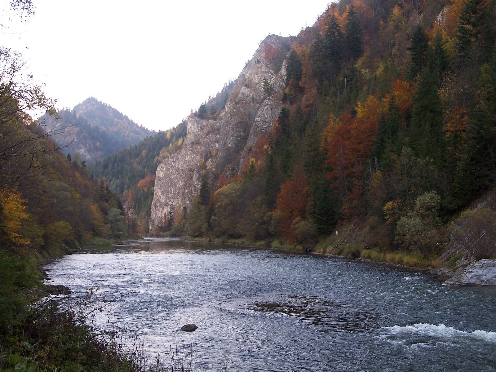
From the car park by the raft landing in Szczawnica, where the Grajcarek stream joins the Dunajec, follow the road west past the Pieniny National Park's entrance pavilion and over the border into Slovakia. It runs beside the river through the Dunajec gorge, under the cliffs of Sokolica and the Trzy Korony massif, round the great bends of the river past Leśnicki potok and Huta, to the Červený Kláštor (Red Monastery). Cross the footbridge over the Dunajec to the raft landing at Sromowce Niżne.
It is 10.2 km one way with 86 m of ascent; allow about 3 hours. The grade is Easy: a broad, almost level road, paved most of the way.
Only about a fifth of the road is in Poland; the rest is in the Slovak Pieniny National Park. It is shared with cyclists. From 1 April to 31 October rafts take about 2 hours 15 minutes back down the gorge from Sromowce to Szczawnica; out of season, walk back the same way. Dogs are not allowed in the Polish national park.
The car park by the raft landing in Szczawnica charges. There is also parking at Sromowce Niżne.
Route drawn by Global Adventurer along OpenStreetMap paths (© OpenStreetMap contributors, ODbL), with figures worked out from it. Check the forecast and the ground on the day: paths change.
Good to know
- A walking and cycling road along the Slovak bank of the Dunajec gorge, about 10 km long, only a fifth of it in Poland
- Under the cliffs of Sokolica and the Trzy Korony massif, with the rafts passing on the river
- It ends at the Červený Kláštor (Red Monastery), where a footbridge crosses to Sromowce Niżne
- From April to October the rafts run back down the gorge to Szczawnica
Summits on the way
- Biała Skała · passed close by
Getting there
Start: Szczawnica car park by the raft landing · Pay and display. 49.42454, 20.46015
Places to stay nearby
Rooms in and around Pieniny: Booking.com → Expedia →
Affiliate links: if you book, Global Adventurer earns a small commission at no cost to you.
Paths change, and the weather decides the day. The line and figures come from OpenStreetMap and our own checks; take a map, check the forecast, and turn back if it isn't right.