Line © OpenStreetMap contributors (ODbL), checked by Global Adventurer.
The walk
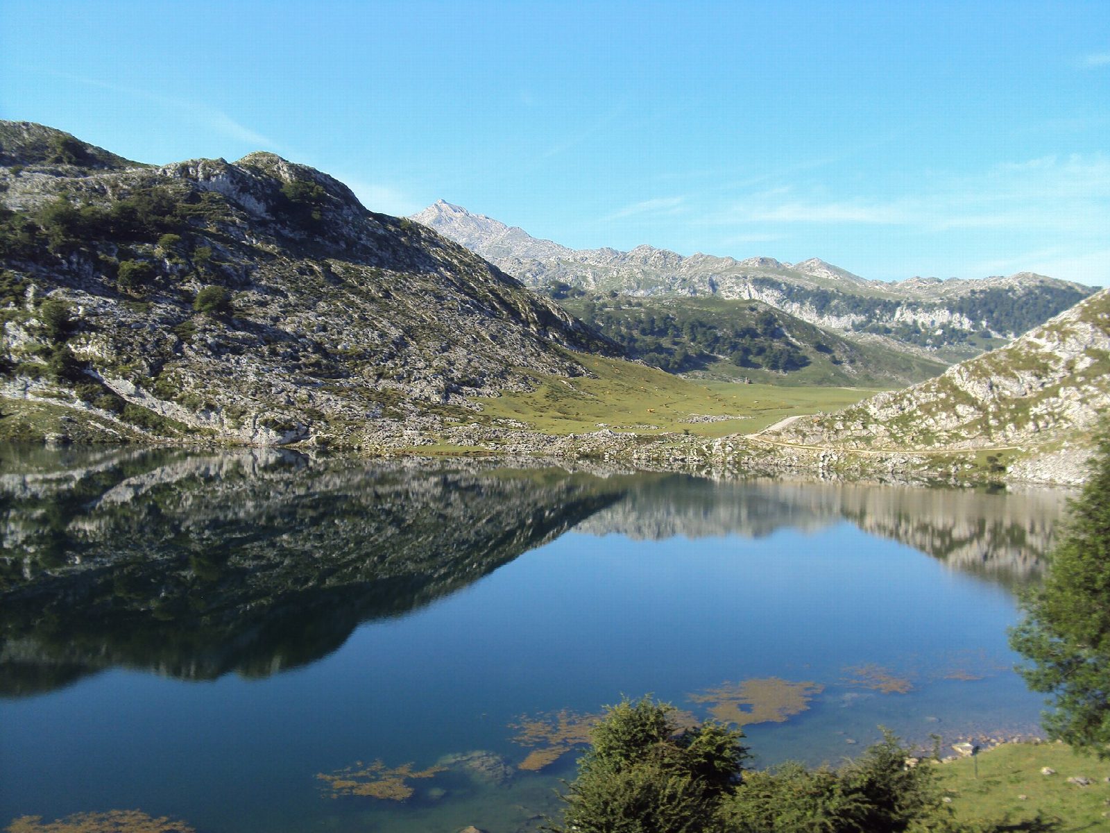
From the Buferrera car park, at the top of the road from Covadonga, the path climbs past the Pedro Pidal visitor centre to the Mirador del Príncipe viewpoint, then comes back through the old Buferrera mines to Lago Ercina. It goes on round behind the hill of El Mosquital to the Vega el Bricial, a meadow that holds a third lake only when the snow melts, and through the Palomberu beech wood to the pastures of the Vega de Enol. The last stretch follows the shore of Lago Enol back to the car park.
It is 5.8 km round with 148 m of climbing; allow about 2 hours. The grade is Easy: grassy paths and stony tracks, muddy after rain.
Fog comes down quickly here and one pasture looks much like another, so keep to the marked path. Cattle graze freely round the lakes.
On regulated days the road from Covadonga is closed to private cars all day: in 2026 these include Easter, every day from 1 June to 18 October and many holiday weekends to early December. A bus runs from Cangas de Onís and Covadonga; an adult day return costs €9. On other days you may drive up to Buferrera.
Route drawn by Global Adventurer along OpenStreetMap paths (© OpenStreetMap contributors, ODbL), with figures worked out from it. Check the forecast and the ground on the day: paths change.
Good to know
- Two glacial lakes at about 1,100 m in the oldest national park in Spain, declared in 1918
- Past the old Buferrera mines, where iron and manganese were dug until 1979
- On regulated days (most of June to mid-October, Easter and many holidays) the road from Covadonga is closed to private cars and a bus runs from Cangas de Onís
- Fog comes down quickly on the pastures behind Lago Ercina
Getting there
Start: Buferrera car park. 43.27644, -4.98574
Places to stay nearby
Rooms in and around Picos de Europa: Booking.com → Expedia →
Affiliate links: if you book, Global Adventurer earns a small commission at no cost to you.
Paths change, and the weather decides the day. The line and figures come from OpenStreetMap and our own checks; take a map, check the forecast, and turn back if it isn't right.