Line © OpenStreetMap contributors (ODbL), checked by Global Adventurer.
The walk
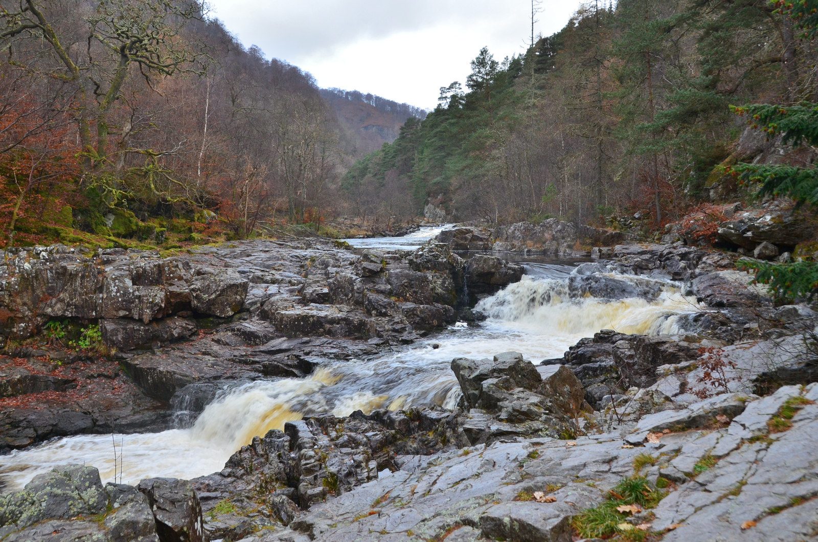
From the car park at Garry Bridge, take the steps down beside the bridge and follow the path towards Pitlochry, under the road bridge and along the river and loch. A short detour leads to the Linn of Tummel, by an obelisk, where a footbridge looks onto the rapids. Further up the glen the path reaches the Coronation Bridge, which carries walkers over the Tummel on suspension cables. Cross and follow Foss Road along the far side of Loch Faskally, past the Clunie power station, to the arched footbridge near the A9. Cross back and follow the lochside path north, past Loch Dunmore and the Faskally outdoor centre, to Garry Bridge.
It is 11.2 km with 190 m of ascent; allow about 3¼ hours. The grade is Moderate: long but level, with many steps.
About a third of the walk is on minor roads with light traffic. The Clunie Arch, at the power station, remembers workers killed building the hydro scheme's tunnels in the 1940s. From 7 October to 8 November 2026 the Enchanted Forest light show in Faskally Wood may bring path diversions near Loch Dunmore.
Park at the car park beside Garry Bridge on the B8019, which has a bus from Pitlochry. The nearest station is Pitlochry, about 3.8 km away.
Route drawn by Global Adventurer along OpenStreetMap paths (© OpenStreetMap contributors, ODbL), with figures worked out from it. Check the forecast and the ground on the day: paths change.
Good to know
- An obelisk stands by the Linn of Tummel, where a footbridge looks onto the rapids
- The Coronation Bridge is a suspension footbridge over the Tummel
- The Clunie Arch remembers workers killed building the hydro scheme's tunnels in the 1940s
Getting there
Start: Garry Bridge car park, B8019 · Free parking. 56.72795, -3.77775
Places to stay nearby
Rooms in and around Garry Bridge car park: Booking.com → Expedia →
Affiliate links: if you book, Global Adventurer earns a small commission at no cost to you.
Paths change, and the weather decides the day. The line and figures come from OpenStreetMap and our own checks; take a map, check the forecast, and turn back if it isn't right.
